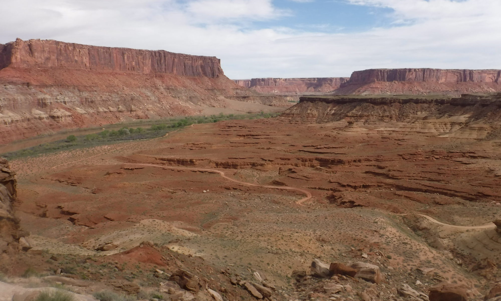
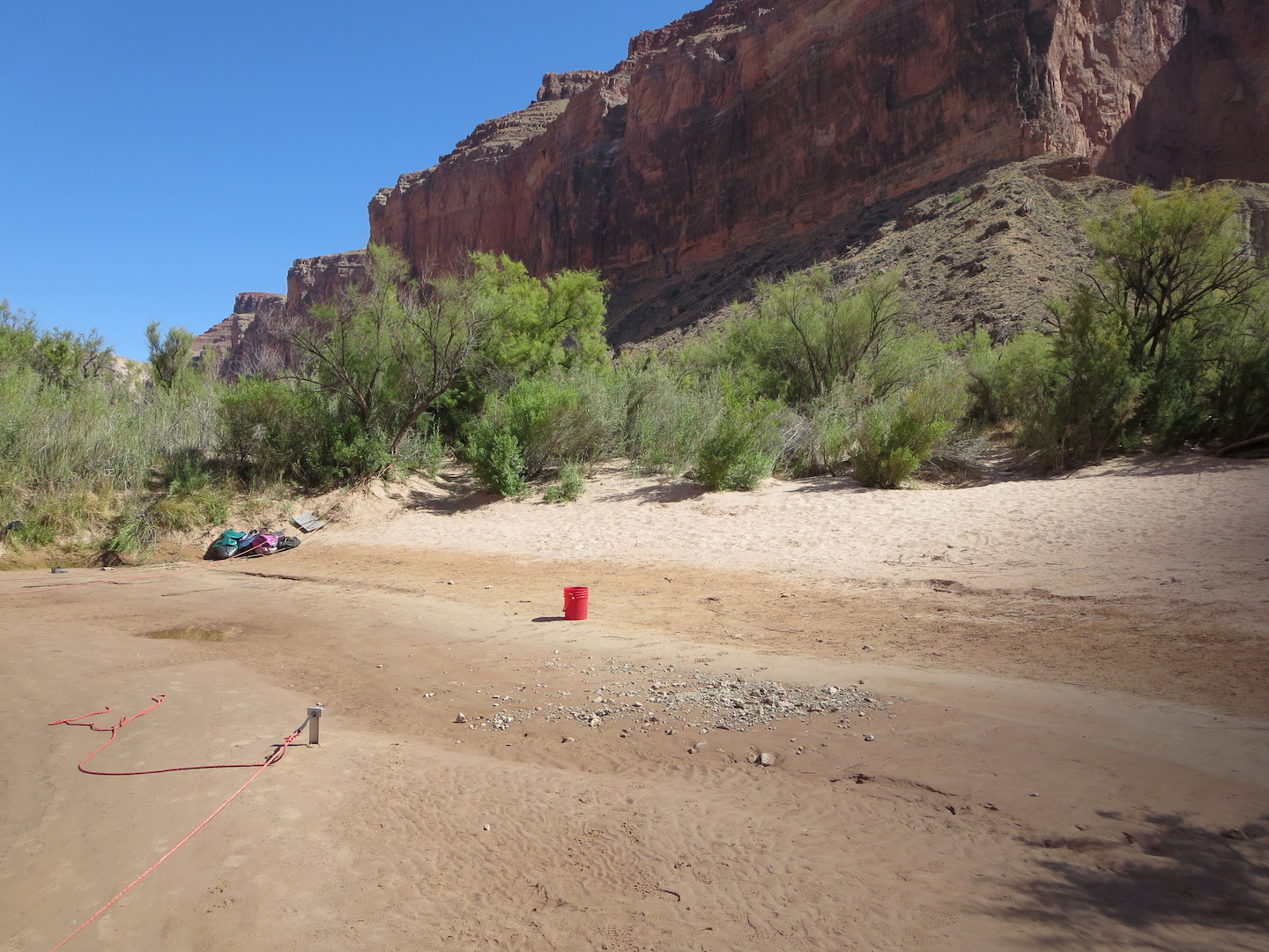
Saving sandbars in the Grand Canyon

Grand Canyon sand bar

Featured image: A sandbar along the Colorado River in the Grand Canyon. Photo by the author. CC-BY-SA.

Paper: A morphodynamic model to evaluate long-term sandbar rebuilding using controlled floods in the Grand Canyon

Authors: Erich R. Mueller and Paul E. Grams

Journal: Geophysical Research Letters

The Grand Canyon is famous for its stark, bare-bedrock landscapes. But those who make the hike, mule ride, or raft trip into its depths are rewarded with a different view: the green, inviting banks of the Colorado River where ancestral Puebloans once grew corn and where rafters now collect overturned boats between rapids. The Canyon owes its bucolic river-bottom landscape to an unsung hero: sand deposited during large floods that creates hospitable habitat for plants and aquatic animals. Since the building of Glen Canyon Dam just upstream in the 1950s, the Grand Canyon has been starved of sand, damaging its fragile ecosystems. Now, a new study quantifies how controlled floods could help restore sandbars to the Grand Canyon.

Continue reading “Saving sandbars in the Grand Canyon”
Building mountains

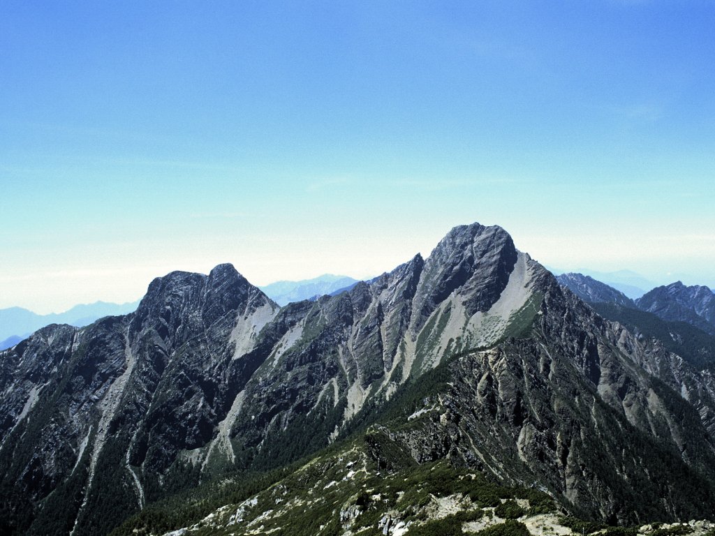
Featured image: Yushan (Jade Mountain) in Taiwan. From Wikimedia Commons by Kailing3 under a CC-BY-SA 3.0 license.

Paper: Coseismic Uplift of the 1999 Mw7.6 Chi‐Chi Earthquake and Implication to Topographic Change in Frontal Mountain Belts

Authors: R.Y. Chuang, C.H. Lu, C.J. Yang, Y.S. Lin, and T.Y. Lee

Journal: Geophysical Research Letters

The height of a mountain range results from a hard-fought battle between tectonic plates and the forces of erosion. Earthquakes generated by clashes between plates cause the upward motion of rock even as they shake the landscape, causing large and numerous landslides. When a large earthquake occurs, which process wins? Does more rock go up than come down, leading to a higher mountain range? Or does shaking-induced erosion remove more material than is uplifted by the earthquake? New research suggests that earthquakes might be able to build mountains up faster than landslides can bring them down.

Continue reading “Building mountains”

Rivers underground

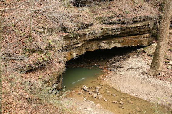
Featured Image: The River Styx emerging from Mammoth Cave by Daniel Schwen. From Wikipedia under a CC-BY-SA license.

Paper: Modeling cave cross‐section evolution including sediment transport and paragenesis
Authors: M.P. Cooper and M.D. Covington

It’s not easy to watch caves form. It happens slowly and out of view, so we know relatively little about cave passage erosion compared to our knowledge of how rivers at Earth’s surface work. New research suggests that the same physical erosion processes that cut river channels at the surface might also be at work underground, adding new depth to our understanding of cave genesis.

Continue reading “Rivers underground”

Sediment riding on ice to the rescue of vulnerable salt marshes

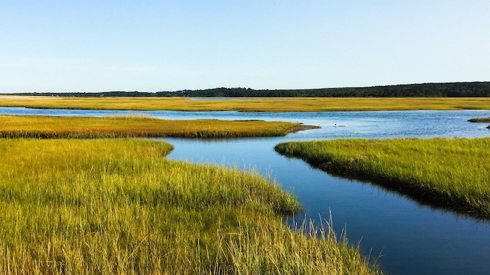
Featured image by Jennifer Crowder from Pixabay.

Paper: Enhanced, climate-driven sedimentation on salt marshes
Authors: D.M. FitzGerald, Z.J. Hughes, I.Y. Georgiou, S. Black, A. Novak
Journal: Geophysical Research Letters

Accelerated sea level rise threatens to drown many of the world’s salt marshes, but sediment riding on ice rafts might be coming to the rescue. Continue reading “Sediment riding on ice to the rescue of vulnerable salt marshes”

Do melting glaciers release extra sediment?

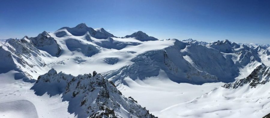
Featured image: Pitztal Glacier, Austria by annca on Pixabay

Paper: Increased Subglacial Sediment Discharge in a Warming Climate: Consideration of Ice Dynamics, Glacial Erosion, and Fluvial Sediment Transport
Authors: Ian Delaney and Surendra Adhikari

The world’s glaciers are shrinking, sending great quantities of water downstream in a geologic instant. But new research shows a lesser-known effect of climate warming: a large increase in sediment released from melting glaciers that might rearrange the shape of Earth’s surface. Continue reading “Do melting glaciers release extra sediment?”

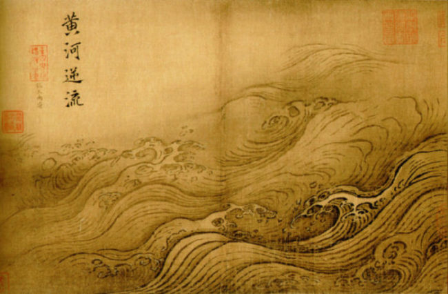
What Caused the Flood that (Possibly) Gave Rise to an Empire?

Featured image: The Yellow River Breaches its Course by Ma Yuan, Public Domain

Paper: Uranium isotopic constraints on the nature of the prehistoric flood at the Lajia site, China
Authors: Le Li, Jun Chen, David William Hedding, Yuanhe Fu, Maolin Ye, Gaojun Li

A small sand deposit might hold the key to dating the rise of China’s first dynasty. Continue reading “What Caused the Flood that (Possibly) Gave Rise to an Empire?”