Forests under (mega)fire in the Pacific Northwest

Accompaniment to the Third Pod from the Sun Episode

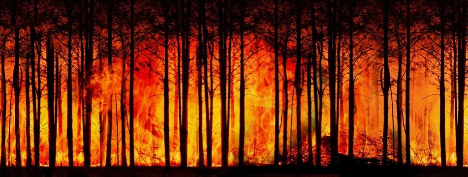
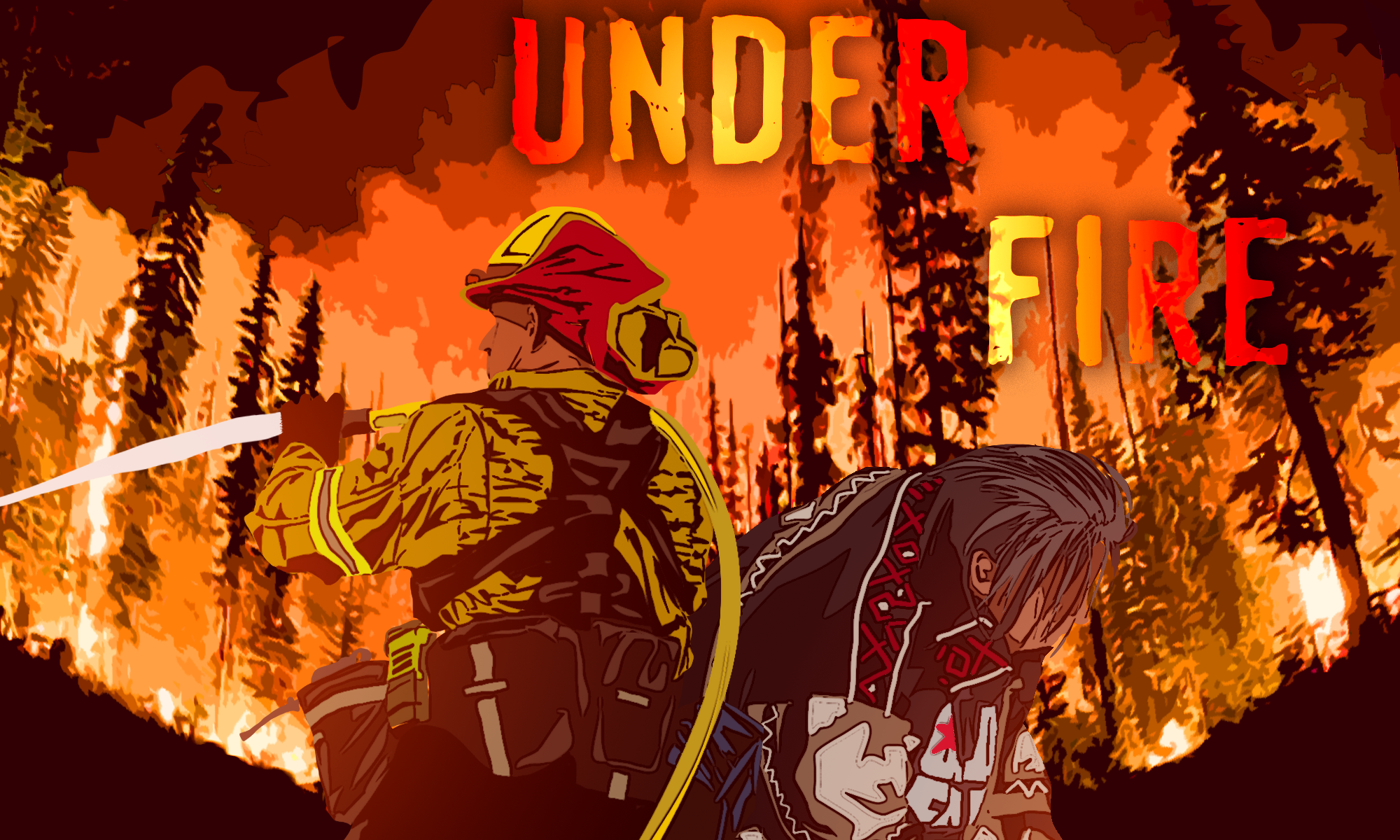
Featured Image: “Forests under fire” original artwork by Jace Steiner. Used with permission.

Paper: Cascadia Burning: The historic, but not historically unprecedented, 2020 wildfires in the Pacific Northwest, USA

Authors: Matthew Reilly, Aaron Zuspan, Joshua Halofsky, Crystal Raymond, Andy McEvoy, Alex Dye, Daniel Donato, John Kim, Brian Potter, Nathan Walker, Raymond Davis, Christopher Dunn, David Bell, Matthew Gregory, James Johnston, Brian Harvey, Jessica Halofsky, Becky Kerns

The natural legacy of fire in the Pacific Northwest (PNW) is complex.  The variable geography of the wet, westside temperate rain forests, to the dry, high elevation forests beyond the Cascade crest make it difficult to find a “catch-all” description of PNW forest fires.  For instance, drier forests of ponderosa pines in eastern Washington experience more frequent, low-severity fires while the temperate rain forests of western Oregon rarely see fires.  However, scientists can reconstruct historical fire regimes and identify centuries-long patterns of burning related to precipitation, temperature, and ignition frequency to define what are historical patterns and what is modern climate change.  In 2020, multiple megafires (a wildfire that burnt more than 100,000 acres of land) broke out in the typically wet parts of Oregon and Washington, burning more than 700,000 acres combined.  This event is called the 2020 Labor Day Fires, and Matthew Reilly and colleagues have revealed these fires were likely part of historical regimes and not a product of accelerated climate change.

Continue reading “Forests under (mega)fire in the Pacific Northwest”
Ancient trees tell the story of modern climate change

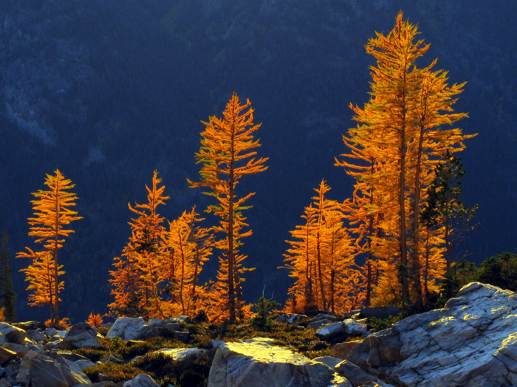
Featured Image: Larch trees.  Image courtesy North Cascades National Park, used with permission.

Paper: Spring arctic oscillation as a trigger of summer drought in Siberian subarctic over the past 1494 years

Authors: Olga V. Churakova Sidorova, Rolf T. W. Siegwolf, Marina V. Fonti, Eugene A. Vaganov, Matthias Saurer

Seemingly straight out of a fairytale, ancient trees are able to convey details about Earth’s complex history to the scientists willing and able to listen.  Deep in the Siberian Arctic lie the secrets of past weather events, ocean currents, and droughts that occurred thousands of years ago, locked away in petrified wood and in the oldest living larch trees.  We often hear in the news how the Siberian forest is victim to extreme drought and fire—something that is new as of the recent century.  But how “new” are these events, and what exactly is perpetuating this new cycle? 

Continue reading “Ancient trees tell the story of modern climate change”

How does smoke from wildfires in the western U.S. change the regional climate?

Feature image from Pixabay

Article: Biomass Burning Smoke and Its Influence on Clouds Over the Western U. S.

Authors: C. H. Twohy, D. W. Toohey, E. J. T. Levin, P. J. DeMott, B. Rainwater, … & E. V. Fischer

The area burned by wildfires has been increasing in the western U.S. in recent years and is expected to continue to increase due to climate change. In fact, a large wildfire is currently burning in Sequoia National Park in California, threatening to impact some of the largest and oldest living trees in the world. While wildfires directly impact people, wildlife, and the environment in many ways, a lesser-known impact, involving clouds, can influence the regional weather and climate.

Continue reading “How does smoke from wildfires in the western U.S. change the regional climate?”

Strong Atmospheric Updrafts Increase the Danger Associated with Wildfires

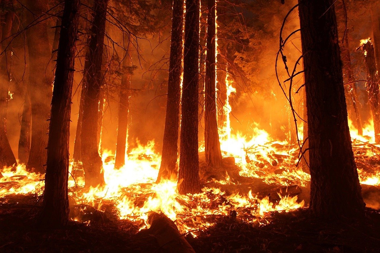
Featured Image: Picture of a wildfire by skeeze on Pixabay

Paper: Extreme Pyroconvective Updrafts During a Megafire
Authors: B. Rodriguez, N. P. Lareau, D. E. Kingsmill, and C. B. Clements

Atmospheric updrafts, or columns of air moving quickly upward, are typically associated with severe thunderstorms and tornadoes and have been studied using radar and airplane data for decades. The extreme heat from large, intense fires can also cause updrafts, but this type of updraft has barely been studied by atmospheric science researchers. Understanding the formation and structure of fire-generated updrafts is important because they can be hazardous to aircraft, can loft embers far distances and spark new fires, and can even initiate fire-generated thunderstorms. A recent study has revealed just how powerful these updrafts above large fires can be.

Continue reading “Strong Atmospheric Updrafts Increase the Danger Associated with Wildfires”

Satellites Predict Forest Fires Better Than Experts

Featured image: by Gerd Altmann from Pixabay.

Paper: Satellite Hydrology Observations as Operational Indicators of Forecasted Fire Danger Across the Contiguous United States

Authors: Alireza Farahmand, E. Natasha Stavros, John T. Reager, Ali Behrangi, James T. Randerson, and Brad Quayle.

Forest Fires are a natural part of the ecosystem that clear out old and overgrown vegetation and recycle nutrients back into the soil.  However, increasing growth into these forested areas has increased the wildland fire hazards to people and their homes and businesses. This has subsequently increased the use of resources and funds to battle and restore damage from these fires. In the United States alone, federal wildfire suppression expenditures tripled from $0.4 billion per year to $1.4 billion per year in the last century. These economic impacts inspired researchers from the California Institute of Technology, University of Arizona, University of California – Irvine and the United States Department of Agriculture to see if they could improve wildfire prediction beyond our current limited methods using subjective expert knowledge and weather forecasts.

Continue reading “Satellites Predict Forest Fires Better Than Experts”