Saving sandbars in the Grand Canyon

Grand Canyon sand bar

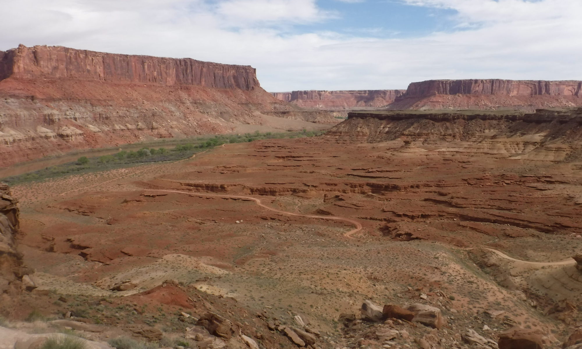
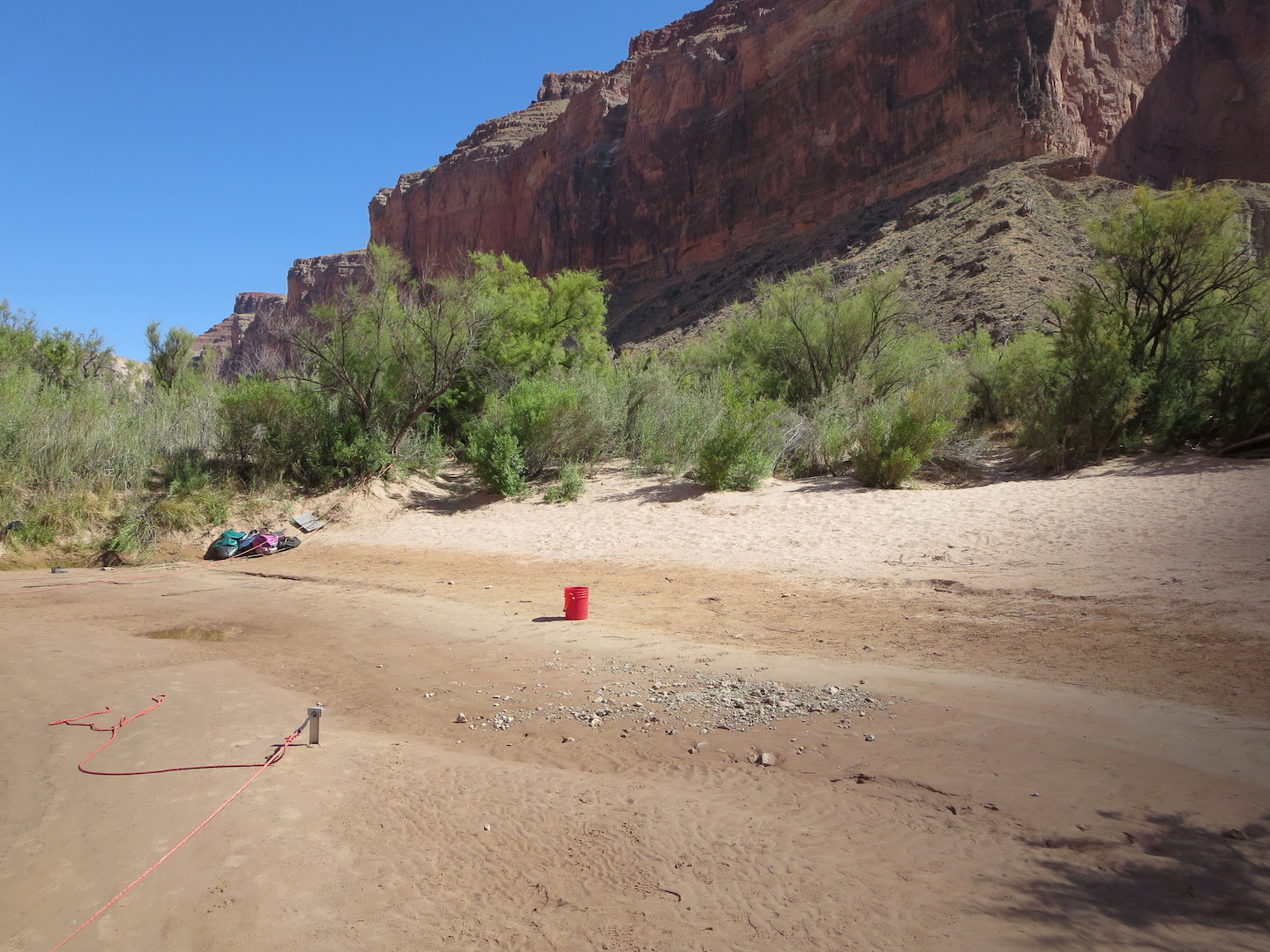
Featured image: A sandbar along the Colorado River in the Grand Canyon. Photo by the author. CC-BY-SA.

Paper: A morphodynamic model to evaluate long-term sandbar rebuilding using controlled floods in the Grand Canyon

Authors: Erich R. Mueller and Paul E. Grams

Journal: Geophysical Research Letters

The Grand Canyon is famous for its stark, bare-bedrock landscapes. But those who make the hike, mule ride, or raft trip into its depths are rewarded with a different view: the green, inviting banks of the Colorado River where ancestral Puebloans once grew corn and where rafters now collect overturned boats between rapids. The Canyon owes its bucolic river-bottom landscape to an unsung hero: sand deposited during large floods that creates hospitable habitat for plants and aquatic animals. Since the building of Glen Canyon Dam just upstream in the 1950s, the Grand Canyon has been starved of sand, damaging its fragile ecosystems. Now, a new study quantifies how controlled floods could help restore sandbars to the Grand Canyon.

Continue reading “Saving sandbars in the Grand Canyon”
Muddy waters lead to decreased oxygen in Chesapeake Bay

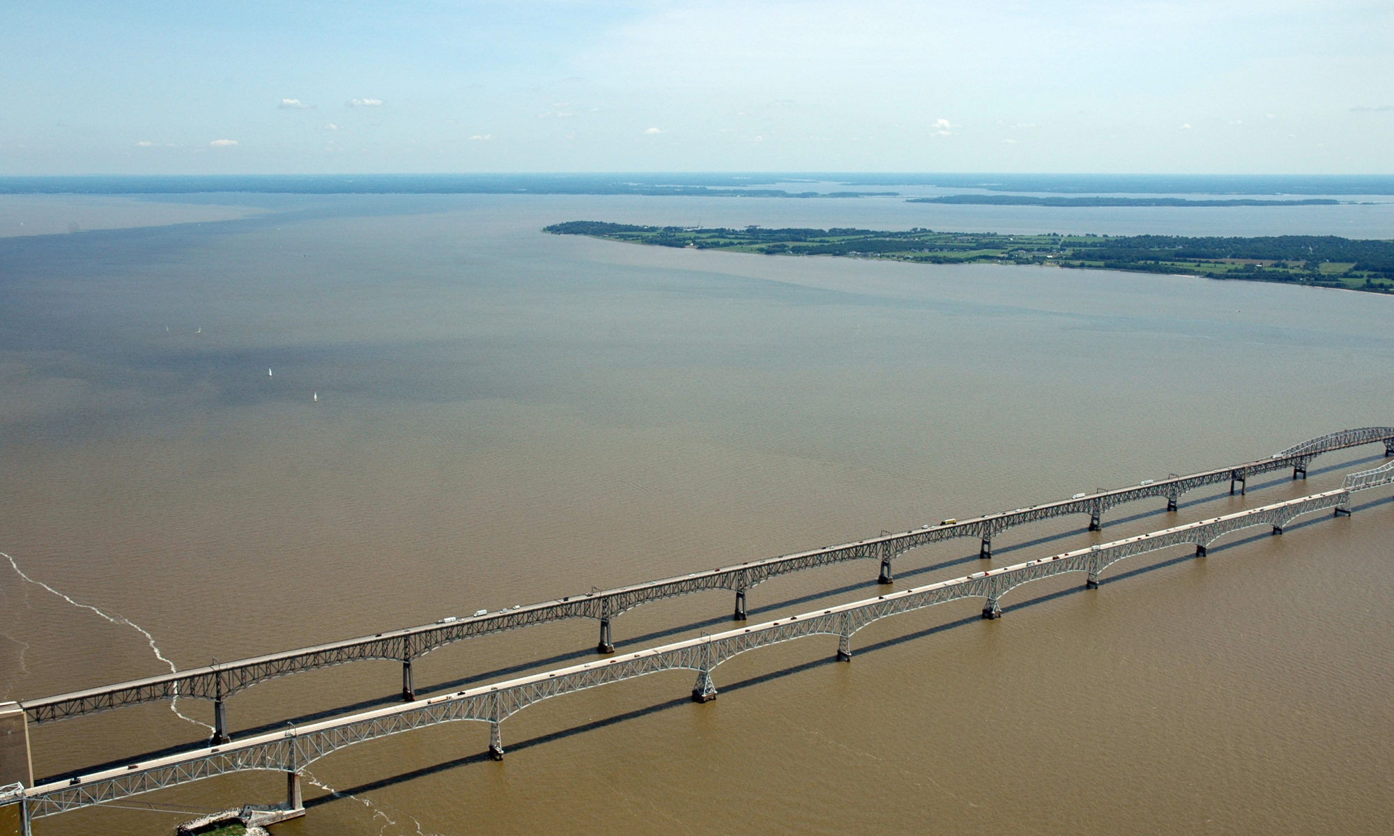
Featured Image: Plumes of muddy, sediment-laden water at the Chesapeake Bay Bridge near Annapolis, MD. Photo courtesy of Jane Thomas/ IAN, UMCES.

Paper: Seabed Resuspension in the Chesapeake Bay: Implications for Biogeochemical Cycling and Hypoxia
Authors: Julia Moriarty, Marjorie Friedrichs, Courtney Harris

A memorable feature of the Chesapeake Bay, the largest estuary in the USA, is that the water is very murky and looks like chocolate milk. Former Senator Bernie Fowler has conducted public “wade-ins” over the past 50 years in one of the Bay’s tributaries, seeing how deep the water is before he can no longer see his white tennis shoes, and let’s just say it is never very deep. This is because of the high concentrations of sediment, or small particles of sand and organic material, in the water. Besides making it harder for seagrasses to grow and serving as food for the economically-important oyster, sediment impacts the biological processes that determine how much oxygen and nutrients are available in the water for algae and fish.

Continue reading “Muddy waters lead to decreased oxygen in Chesapeake Bay”

Looking for life on Mars: what can the valleys that once flowed into Jezero crater tell us about the best rocks to sample?

Featured image: Artist depiction of the Mars 2020 Perseverance Rover on Mars. Public domain (NASA/JPL-Caltech).

Paper: Fluvial Regimes, Morphometry, and Age of Jezero Crater Paleolake Inlet Valleys and Their Exobiological Significance for the 2020 Rover Mission Landing Site.

Authors: Nicolas Mangold, Gilles Dromart, Veronique Ansan, Francesco Salese, Maarten G. Kleinhans, Marion Masse, Cathy Quantin-Nataf, and Kathryn M. Stack.

On Mars, we see a very different landscape to that on Earth. Although now an arid planet, great scars visible from space – such as the colossal Valles Marineris, which dwarfs Earth’s Grand Canyon – hint at a once watery world. But scientists still aren’t sure whether water on Mars might once have hosted life. On the 30th of July, NASA will launch the Mars 2020 mission, which will gather clues about the planet’s past and seek signs of ancient life on Mars. An essential part of such a space mission is extensive planning, so that scientists can target the most important rocks for study and sampling when the rover gets to Mars. A recent study by Nicolas Mangold and colleagues did just that by looking closely at the landing site for this next Mars mission, known as Jezero crater.

Continue reading “Looking for life on Mars: what can the valleys that once flowed into Jezero crater tell us about the best rocks to sample?”

Small Sediment’s Big Impact on Flash Floods

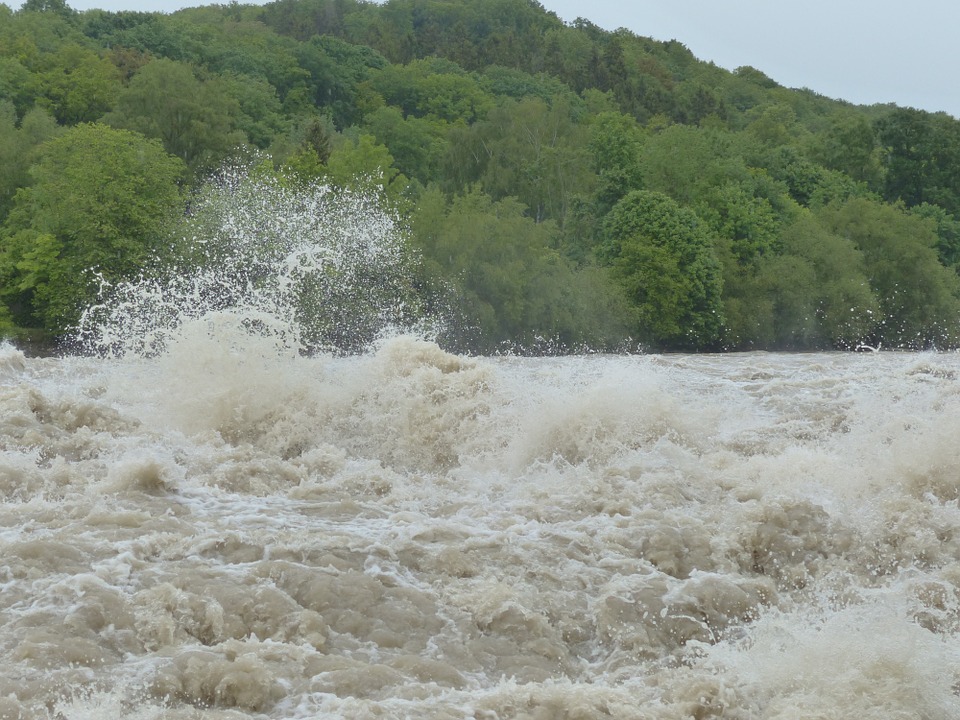
Featured image by Hans from Pixabay.

Paper: Modeling the Effects of Sediment Concentration on the Propagation of Flash Floods in an Andean Watershed

Authors: María Teresa Contreras and Cristían Escauriaza

Climate change has altered weather patterns around the world and has even led to increased heavy rainfall in some regions.  This, combined with El Niño – a weather pattern produced by unusual winds that can cause some regions to experience heavier than normal rainfall – has led to high numbers of catastrophic flash floods in populated areas near the Andes mountains.  To add insult to injury, climate models predict increases in heavy rainfall events in the future, further worsening the chance for flash floods. New research from scientists working in Chile and the United States aims to model the impact of these floods on communities by simulating realistic flash flood conditions with different amounts of sediment, a potentially dangerous component of flash floods in mountainous regions.

Continue reading “Small Sediment’s Big Impact on Flash Floods”

Ancient microbes engineered sedimentary deposits

Cambrian Stromatolites from New York State

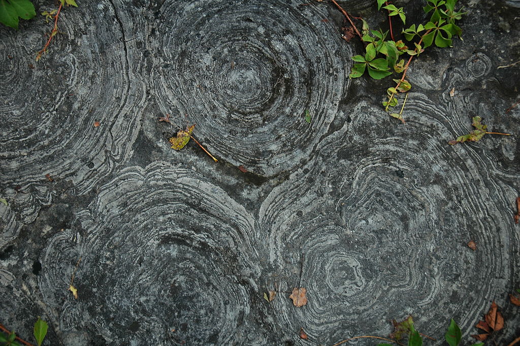
Featured image: Cambrian stromatolites from New York State. Image attribution: James St. John / CC BY 2.0; Wikimedia Commons

Paper: Evidence for microbes in early Neoproterozoic stromatolites

Authors: Zhongwu Lan, Shujing Zhang, Maurice Tucker, Zhensheng Li, Zhuoya Zhao

Stromatolites are ancient, layered deposits of sediments that are characterized by thin, alternating light and dark bands. While microbial fossils have been found in many stromatolites, the biological origin of these structures has been debated. Continue reading “Ancient microbes engineered sedimentary deposits”

What Caused the Flood that (Possibly) Gave Rise to an Empire?

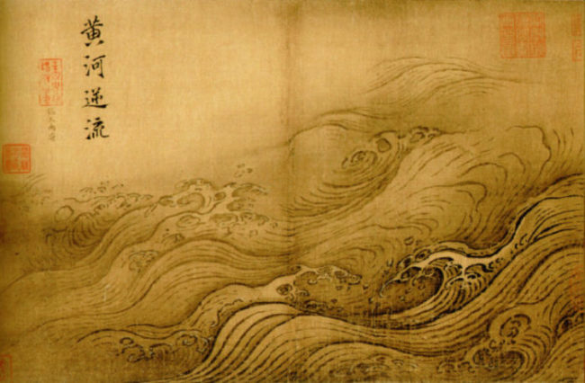
Featured image: The Yellow River Breaches its Course by Ma Yuan, Public Domain

Paper: Uranium isotopic constraints on the nature of the prehistoric flood at the Lajia site, China
Authors: Le Li, Jun Chen, David William Hedding, Yuanhe Fu, Maolin Ye, Gaojun Li

A small sand deposit might hold the key to dating the rise of China’s first dynasty. Continue reading “What Caused the Flood that (Possibly) Gave Rise to an Empire?”