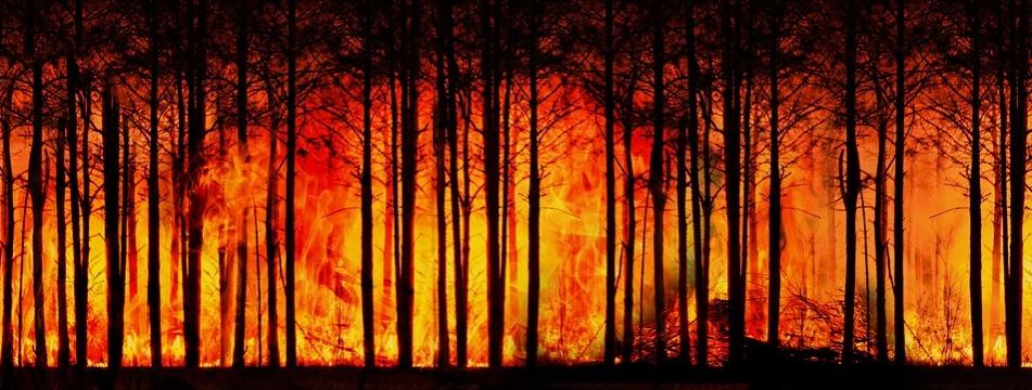
Satellites Predict Forest Fires Better Than Experts

Featured image: by Gerd Altmann from Pixabay.

Paper: Satellite Hydrology Observations as Operational Indicators of Forecasted Fire Danger Across the Contiguous United States

Authors: Alireza Farahmand, E. Natasha Stavros, John T. Reager, Ali Behrangi, James T. Randerson, and Brad Quayle.

Forest Fires are a natural part of the ecosystem that clear out old and overgrown vegetation and recycle nutrients back into the soil.  However, increasing growth into these forested areas has increased the wildland fire hazards to people and their homes and businesses. This has subsequently increased the use of resources and funds to battle and restore damage from these fires. In the United States alone, federal wildfire suppression expenditures tripled from $0.4 billion per year to $1.4 billion per year in the last century. These economic impacts inspired researchers from the California Institute of Technology, University of Arizona, University of California – Irvine and the United States Department of Agriculture to see if they could improve wildfire prediction beyond our current limited methods using subjective expert knowledge and weather forecasts.

Continue reading “Satellites Predict Forest Fires Better Than Experts”
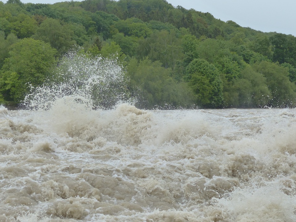
Small Sediment’s Big Impact on Flash Floods

Featured image by Hans from Pixabay.

Paper: Modeling the Effects of Sediment Concentration on the Propagation of Flash Floods in an Andean Watershed

Authors: María Teresa Contreras and Cristían Escauriaza

Climate change has altered weather patterns around the world and has even led to increased heavy rainfall in some regions.  This, combined with El Niño – a weather pattern produced by unusual winds that can cause some regions to experience heavier than normal rainfall – has led to high numbers of catastrophic flash floods in populated areas near the Andes mountains.  To add insult to injury, climate models predict increases in heavy rainfall events in the future, further worsening the chance for flash floods. New research from scientists working in Chile and the United States aims to model the impact of these floods on communities by simulating realistic flash flood conditions with different amounts of sediment, a potentially dangerous component of flash floods in mountainous regions.

Continue reading “Small Sediment’s Big Impact on Flash Floods”

Welcome to Geobites!

We’ve all been overwhelmed by learning something new before–especially in the sciences where jargon can be overwhelming. Geobites aims to overcome this problem by summarizing new and interesting geoscience research in short, understandable pieces. Here, readers can learn about the newest developments in geoscience research, and geoscientists can build their science communication skills.