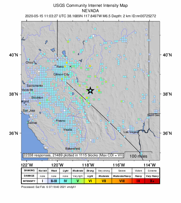
Featured image: A USGS “Did you feel it?” map for a M6.5 earthquake that occurred in the Monte Cristo Range in Nevada on May 15th, 2020 (public domain)
Paper: Which earthquake accounts matter?
Authors: Susan E. Hough and Stacey S. Martin
Seismologists who study earthquakes spend much of their time looking at wiggly lines that represent recordings of ground motion from seismometers, but in places where those data aren’t available, we often turn to what we call “macroseismic” data: eyewitness accounts from people who felt the shaking. But when we ask people on the ground, “Did you feel it?,” who is answering?
Continue reading “Taking the measure of the measurer”


