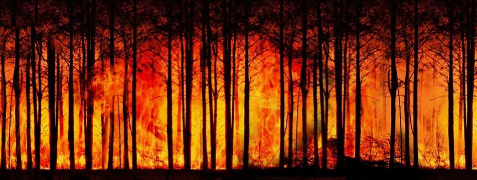
Featured image: by Gerd Altmann from Pixabay.
Authors: Alireza Farahmand, E. Natasha Stavros, John T. Reager, Ali Behrangi, James T. Randerson, and Brad Quayle.
Forest Fires are a natural part of the ecosystem that clear out old and overgrown vegetation and recycle nutrients back into the soil. However, increasing growth into these forested areas has increased the wildland fire hazards to people and their homes and businesses. This has subsequently increased the use of resources and funds to battle and restore damage from these fires. In the United States alone, federal wildfire suppression expenditures tripled from $0.4 billion per year to $1.4 billion per year in the last century. These economic impacts inspired researchers from the California Institute of Technology, University of Arizona, University of California – Irvine and the United States Department of Agriculture to see if they could improve wildfire prediction beyond our current limited methods using subjective expert knowledge and weather forecasts.
Continue reading “Satellites Predict Forest Fires Better Than Experts”
