Carbon to carbonates: capturing CO2 with rocks

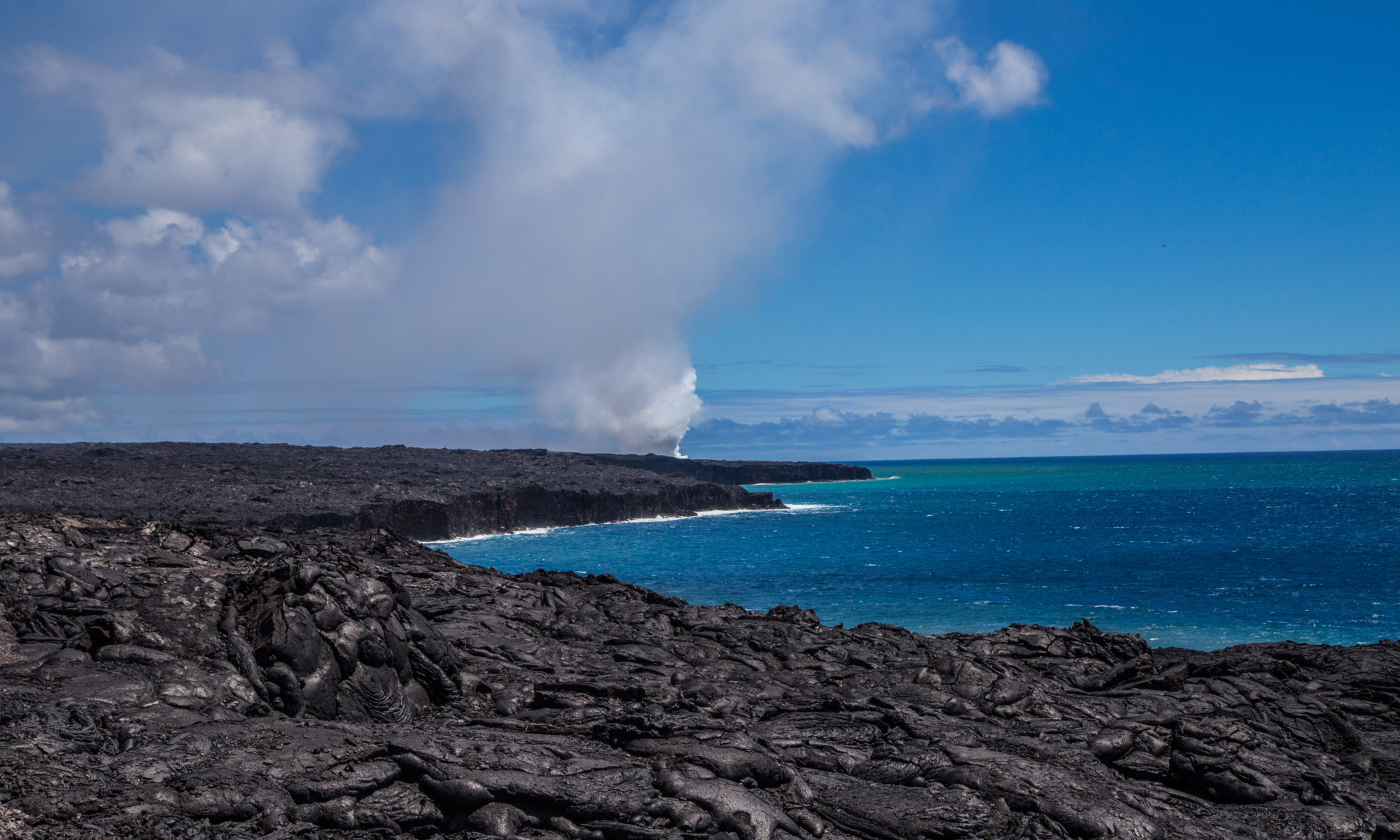
Featured image: a field of basalt in Hawai’i Volcanoes National Park (National Park Service, public domain)

Paper: Potential CO2 removal from enhanced weathering by ecosystem respnses to powdered rock
Authors: Daniel S. Goll et al.

In the 2015 Paris Agreement, nations pledged to work toward a common goal of limiting global warming to less than 2°C compared to pre-industrial times. The Agreement doesn’t specify how the signatories should do this, though: levy a carbon tax? Shut down coal-fired power plants? Use a stainless steel straw? According to the best available climate science, we will need to be doing all of the above and then some. In fact, meeting the target of the Paris Agreement will require negative emissions, removing greenhouse gases from the atmosphere via some form of Negative Emissions Technology (NET).

Continue reading “Carbon to carbonates: capturing CO2 with rocks”

Mysteries of the deep (and bumpy) seafloor

Featured image: Elevation map of a seamount in the central Pacific, shown in a persepctive view. Image courtesy of the NOAA Office of Ocean Exploration and Research (public domain).

Paper: Fluid-rich subducting topography generates anomalous forearc porosity
Authors: Christine Chesley, Samer Naif, Kerry Key, Dan Bassett

Open any geology textbook, and you’re guaranteed to find a cartoon of a subduction zone showing how an incoming oceanic plate dives down beneath another tectonic plate (either continent or ocean) on its way back into Earth’s deep interior. These simple sketches typically show the top of the incoming plate as a smooth, gently curved line meeting and joining another smooth line at the base of the overriding plate – and that’s not exactly wrong, given the enormous scale of a subduction zone compared to the smallness of the drawing. But if you zoom in far enough on oceanic tectonic plates, the seafloor is often rough and bumpy. What happens, then, when rough seafloor heads into a subduction zone?

Continue reading “Mysteries of the deep (and bumpy) seafloor”

Microbes, tectonics, and the global carbon cycle

Featured image: Steam rising from a pool in the Aguas Termales area near the base of Rincón de la Vieja volcano in Costa Rica. Courtesy of the Global Volcanism Program, Smithsonian Institution; photo by Paul Kimberly.

Paper: Effect of tectonic processes on biosphere-geosphere feedbacks across a convergent margin
Authors: K. M. Fullerton, M. O. Schrenk, M. Yucel, E. Manini, M. Basili, T. J. Rogers, D. Fattorini, M. Di Carlo, G. d’Errico, F. Regoli, M. Nakagawa, C. Vetriani, F. Smedile, C. Ramirez, H. Miller, S. M. Morrison, J. Buongiorno, G. L. Jessen, A. D. Steen, M. Martinez, J. M. de Moor, P. H. Barry, D. Giovannelli, and K. G. Lloyd

Plate tectonics describes the workings of our planet on the gigantic scale of continents and oceans, moving graduallly over hundreds of millions of years. But the tectonic processes that slowly shape and reshape the whole surface of the Earth also directly influence the lives of some of our planet’s tiniest residents: microbes. And those microbes, in turn, may have a larger effect on Earth’s carbon cycle than previously estimated.

Continue reading “Microbes, tectonics, and the global carbon cycle”

Taking the measure of the measurer

Featured image: A USGS “Did you feel it?” map for a M6.5 earthquake that occurred in the Monte Cristo Range in Nevada on May 15th, 2020 (public domain)

Paper: Which earthquake accounts matter?
Authors: Susan E. Hough and Stacey S. Martin

Seismologists who study earthquakes spend much of their time looking at wiggly lines that represent recordings of ground motion from seismometers, but in places where those data aren’t available, we often turn to what we call “macroseismic” data: eyewitness accounts from people who felt the shaking. But when we ask people on the ground, “Did you feel it?,” who is answering?

Continue reading “Taking the measure of the measurer”

Cracking the code of the caramel crust

Featured image: a view of the Calico Basin in the eastern part of the Mojave Desert. Photo by Fred Morledge, CC BY-SA 2.5, via Wikimedia Commons.

Paper: Thin crème brûlée rheological structure for the Eastern California Shear Zone
Authors: Shaozhuo Liu, Zheng-Kang Shen, Roland Bürgmann, & Sigurjón Jónsson

A recent paper by Liu and colleagues aims to answer a fundamental question in geodynamics: are Earth’s tectonic plates more like a jelly sandwich, or a crème brûlée? It may sound silly, but these two models for crustal strength describe how tectonic plates might respond to stress changes due to earthquakes.

Continue reading “Cracking the code of the caramel crust”

Shaken, rattled, and rolled

Featured image: an aerial photograph of the Capitolias/Beit-Ras theater, courtesy of the Aerial Photographic Archive of Archaeology in the Middle East (APAAME), CC-BY-NC-ND 2.0

Paper: Two inferred antique earthquake phases recorded in the Roman theater of Beit-Ras/Capitolias (Jordan)
Authors: M. Al-Tawalbeh, R. Jaradat, K. Al-Bashaireh, A. Al-Rawabdeh, A. Gharaibeh, B. Khrisat, and M. Kázmér

One of the biggest questions in earthquake seismology is whether we can see into the future, to forecast seismic activity based on what we know about faults and how they behave. We’re about as likely to accurately predict earthquakes as we are to see the future in a crystal ball, but one way we can improve our forecasts of seismic hazard actually involves looking in the other direction: back into the past.

Continue reading “Shaken, rattled, and rolled”

The strange case of the Kansas earthquake

Featured image: Karst rocks in Segovia, Spain. Photo by Luis Fernández García, CC-BY-SA 2.1.

Paper: Injection-induced earthquakes near Milan, Kansas controlled by karstic networks
Authors: Charlène Joubert, Reza Sohrabi, Justin L. Rubinstein, Gunnar Jansen, Stephen A. Miller

On November 12th, 2014, a magnitude 4.9 earthquake rattled the city of Milan, Kansas. This event was the largest earthquake ever recorded in Kansas, adding to a trend of increasing seismic activity in the state since 2012. What could cause this kind of tectonic excitement in the stable central US?

Continue reading “The strange case of the Kansas earthquake”

How do you break up a continent?

Featured image: Lake Malawi, as seen from space. Image courtesy of ESA/MERIS, CC-BY-SA IGO.

Paper: Preferential localized thinning of lithospheric mantle in the melt-poor Malawi Rift
Authors: E. Hopper, J. B. Gaherty, D. J. Shillington, N. J. Accardo, A. A. Nyblade, B. K. Holtzman, C. Havlin, C. A. Scholz, P. R. N. Chindandali, R. W. Ferdinand, G. D. Mulibo, G. Mbogoni

Continental rifting, where one landmass slowly breaks apart into two pieces separated by a brand new ocean basin, is a fundamental part of plate tectonics. But it presents an apparent paradox: the tectonic forces pulling on the plates are thought to be much too weak to break the strong rocks of the continents.

Continue reading “How do you break up a continent?”

Tiny wobbles foreshadow big earthquakes

Featured image: A GPS station in the Sawtooth National Forest near Ketchum, Idaho. Photo by Scott Haefner (USGS).

Paper: Months-long thousand-kilometre-scale wobbling before great subduction earthquakes
Authors: J. R. Bedford, M. Moreno, Z. Deng, O. Oncken, B. Schurr, T. John, J. C. Báez, M. Bevis

We’re always on the lookout for earthquake precursors, indicators that the Earth might be gearing up for some shaking, and geophysicists think they might have found a new one: a small but measurable back-and-forth “wobble” of the land starting several months before very big earthquakes hit.

Continue reading “Tiny wobbles foreshadow big earthquakes”

Climate records written on the seafloor

Featured image: A perspective view of the seafloor at the East Pacific Rise, 9N. Made with GeoMapApp (www.geomapapp.org, CC-BY), and GMRT topography data (Ryan et al. 2009, CC-BY).

Paper: Do sea level variations influence mid-ocean ridge magma supply? A test using crustal thickness and bathymetry data from the East Pacific Rise
Authors: B. Boulahanis, S. M. Carbotte, P. J. Huybers, M. R. Nedimovic, O. Aghaei, J. P. Canales, and C. H. Langmuir

Many of our records of past sea level come from local measurements from coastal towns logged over decades or centuries, or are estimated from ice or sediment cores spanning the last few thousand years, but new research suggests that much longer records can be found in an unlikely place: imprinted deep underground in the oceanic crust.

Continue reading “Climate records written on the seafloor”