Water in the rocky layer cake beneath us

Konza Prairie Biological Station

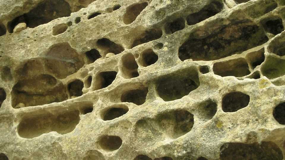
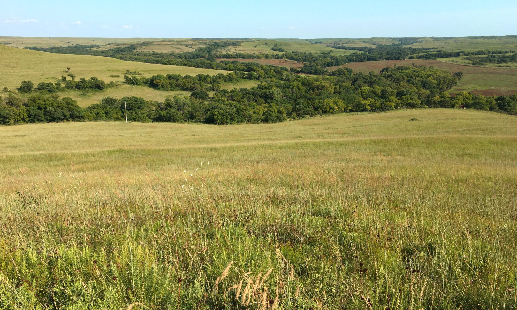
Featured Image: Konza Prairie near Manhattan, Kansas, USA. Credit: David Litwin.

Paper: Toward a new conceptual model for groundwater flow in merokarst systems: Insights from multiple geophysical approaches.

Authors: Sullivan, P. L., Zhang, C., Behm, M., Zhang, F., & Macpherson, G. L.

The dissolution of limestone by atmospheric water forms a set of recognizable features collectively known as karst: enormous caves with stalactites and stalagmites, sinkholes, chasms, and narrow, towering  columns of rock. The hydrology of karst landscapes is often incredibly complex, as water can flow rapidly through dissolution-formed conduits below ground, and topography offers fewer clues to groundwater flow than in most other landscapes. While dramatic karstic landscapes have received a lot of scientific attention, even smaller limestone units can host karst features that affect hydrology.

Continue reading “Water in the rocky layer cake beneath us”

The strange case of the Kansas earthquake

Featured image: Karst rocks in Segovia, Spain. Photo by Luis Fernández García, CC-BY-SA 2.1.

Paper: Injection-induced earthquakes near Milan, Kansas controlled by karstic networks
Authors: Charlène Joubert, Reza Sohrabi, Justin L. Rubinstein, Gunnar Jansen, Stephen A. Miller

On November 12th, 2014, a magnitude 4.9 earthquake rattled the city of Milan, Kansas. This event was the largest earthquake ever recorded in Kansas, adding to a trend of increasing seismic activity in the state since 2012. What could cause this kind of tectonic excitement in the stable central US?

Continue reading “The strange case of the Kansas earthquake”