
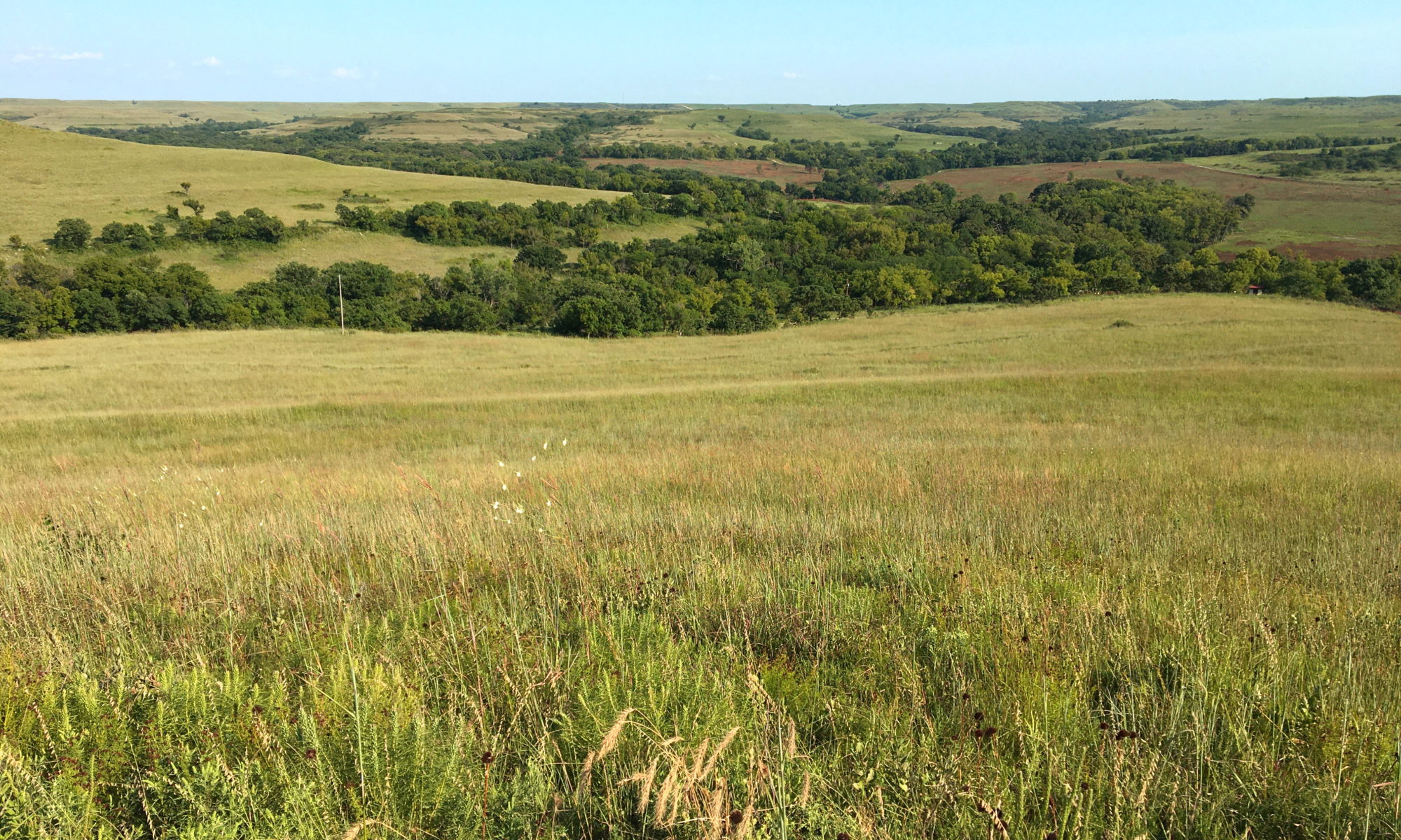
Featured Image: Konza Prairie near Manhattan, Kansas, USA. Credit: David Litwin.
Authors: Sullivan, P. L., Zhang, C., Behm, M., Zhang, F., & Macpherson, G. L.
The dissolution of limestone by atmospheric water forms a set of recognizable features collectively known as karst: enormous caves with stalactites and stalagmites, sinkholes, chasms, and narrow, towering columns of rock. The hydrology of karst landscapes is often incredibly complex, as water can flow rapidly through dissolution-formed conduits below ground, and topography offers fewer clues to groundwater flow than in most other landscapes. While dramatic karstic landscapes have received a lot of scientific attention, even smaller limestone units can host karst features that affect hydrology.
For example, in many places across the central and western United states, layers of limestone less than a few meters thick are stacked like a layer cake between less soluble rocks like shale or mudstone in formations known as merokarst. The standard model of groundwater in these places says that each limestone layer acts more or less like its own aquifer, independent from all the others. But this really the case, and what does it mean for the future of the water availability in these landscapes?
Sullivan and colleagues set out to test this model at the Konza Prairie Biological Station in northeastern Kansas, USA. The site has long hydrological records, including water levels in a network of shallow groundwater wells. Wells are drilled to different depths to capture the dynamics in different aquifers in the limestone-shale layer cake. They also used an extensive lineup of geophysical imaging techniques including electrical resistance tomography, ground-penetrating radar, and nuclear magnetic resonance to understand the structure of the rock and presence of water below the ground surface.
Contrary to the standard model, the authors found that the limestone layers beneath the Konza Prairie station are in fact hydrologically connected. Surprisingly, this was true even under the drought conditions at the time the measurements were made. Normally, we expect shallow groundwater to flow down slope from hills into adjacent stream channels. In the headwaters of the small stream at Konza however, groundwater flow was directed away from the stream channel, in the opposite direction of the ground slope. A depression in the groundwater levels away from the stream suggested that the water was draining down through the layers toward some deeper regional aquifer that might not be connected to the nearby stream. It was only with the combination of the imaging techniques that they were able to reveal this pattern, so the authors suggest that more work should be done using these methods in the future.
The future of water in the US plains and arid west will depend on a lot of factors, not the least of which are policy decisions and conservation efforts informed by our knowledge of hydrology. However, there is still much to learn about how the aquifers we use are replenished, and how interconnected our water sources are. The world below our feet is a complex place, but novel scientific techniques like geophysical imaging are pushing toward understanding it better so we can manage and protect water, wherever it flows.
Water in the rocky layer cake beneath us by David Litwin is licensed under a Creative Commons Attribution-ShareAlike 4.0 International License.