Authors: Williams, Amy J., Kathleen L. Craft, Maëva Millan, Sarah Stewart Johnson, Christine A. Knudson, Marisol Juarez Rivera, Amy C. McAdam, Dominique Tobler, and John Roma Skok.
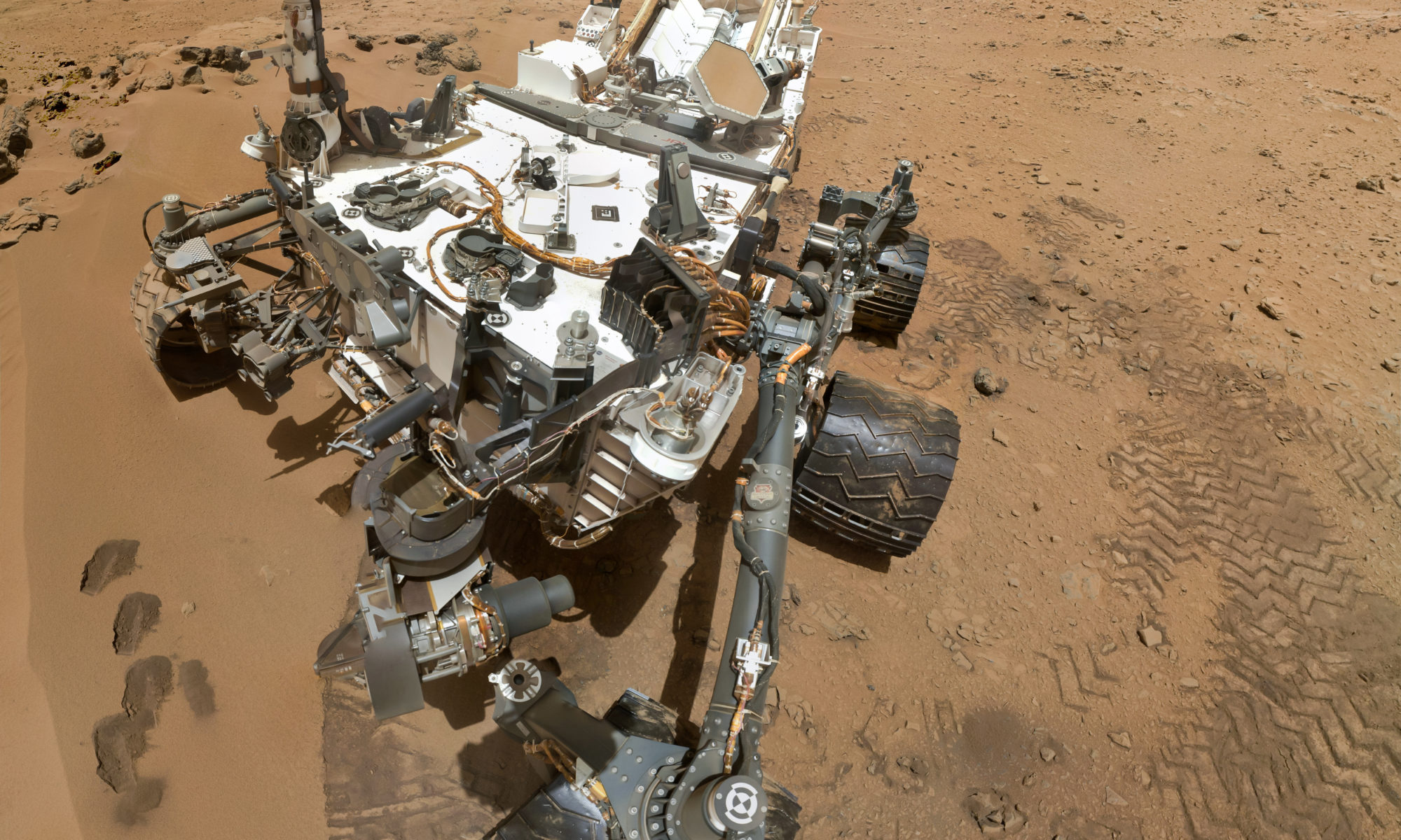
The quest to find signs of life on Mars is one of the greatest scientific challenges of our time. For some researchers, the quest is a chemical one. A search for the biomolecular remains of life that may have lived when Mars was warmer and wetter billions of years ago. However, finding and recognizing molecular fossils is no easy task, even for a rover as sophisticated as Curiosity. Now, new research from Dr. Amy Williams and her colleagues provides fresh insights into where Mars rovers should look for these fossils, what the signatures may look like, and a simple procedure for how to detect them.
Landscapes get depressed too: limestone depressions pattern a wetland landscape
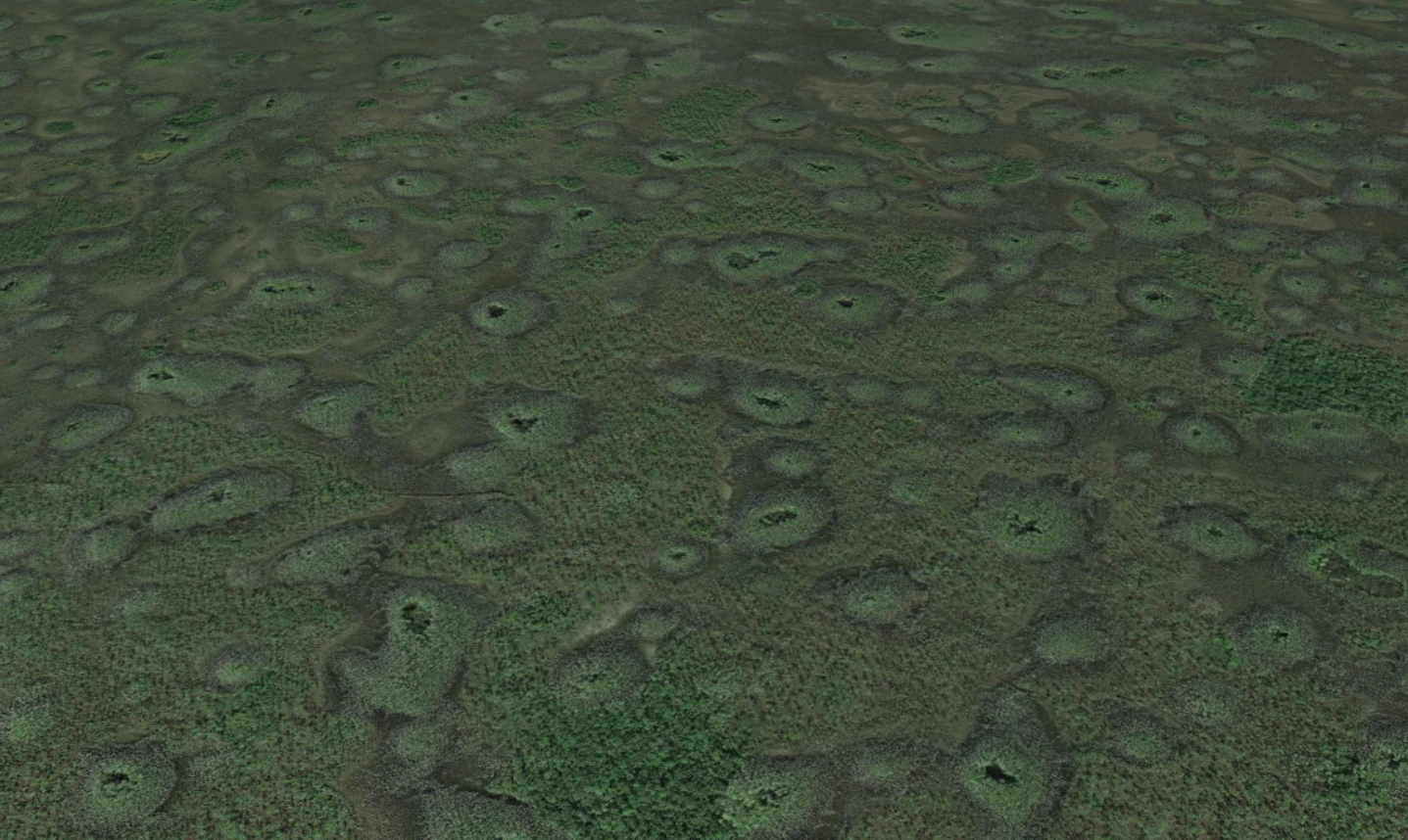
Feature Image: Limestone depressions cover the landscape in the Big Cypress National Preserve in Florida, USA. (C) Google.
Article: Competition Among Limestone Depressions Leads to Self‐Organized Regular Patterning on a Flat Landscape
Authors: Dong, X., Murray, A. B., & Heffernan, J. B.
Patterns are abundant in nature, from evenly spaced termite mounds and vegetation patches to repeating series of ridges and valleys to sand dunes. The questions of why these patterns are so uniform and why they are found in disparate settings has been the subject of intense scientific interest over the last decades. Mathematical tools have given scientists the ability to study these “complex systems,” where behavior of the whole system emerges from interactions between smaller parts. While many different systems have been studied, recently researchers from the Duke University and the University of California at Davis investigated a patterned landscape with mysterious origins: the large, evenly spaced depressions in limestone bedrock that cover nearly 3000 square kilometers of the Big Cypress National Preserve in the Florida Everglades.
Continue reading “Landscapes get depressed too: limestone depressions pattern a wetland landscape”Saving sandbars in the Grand Canyon
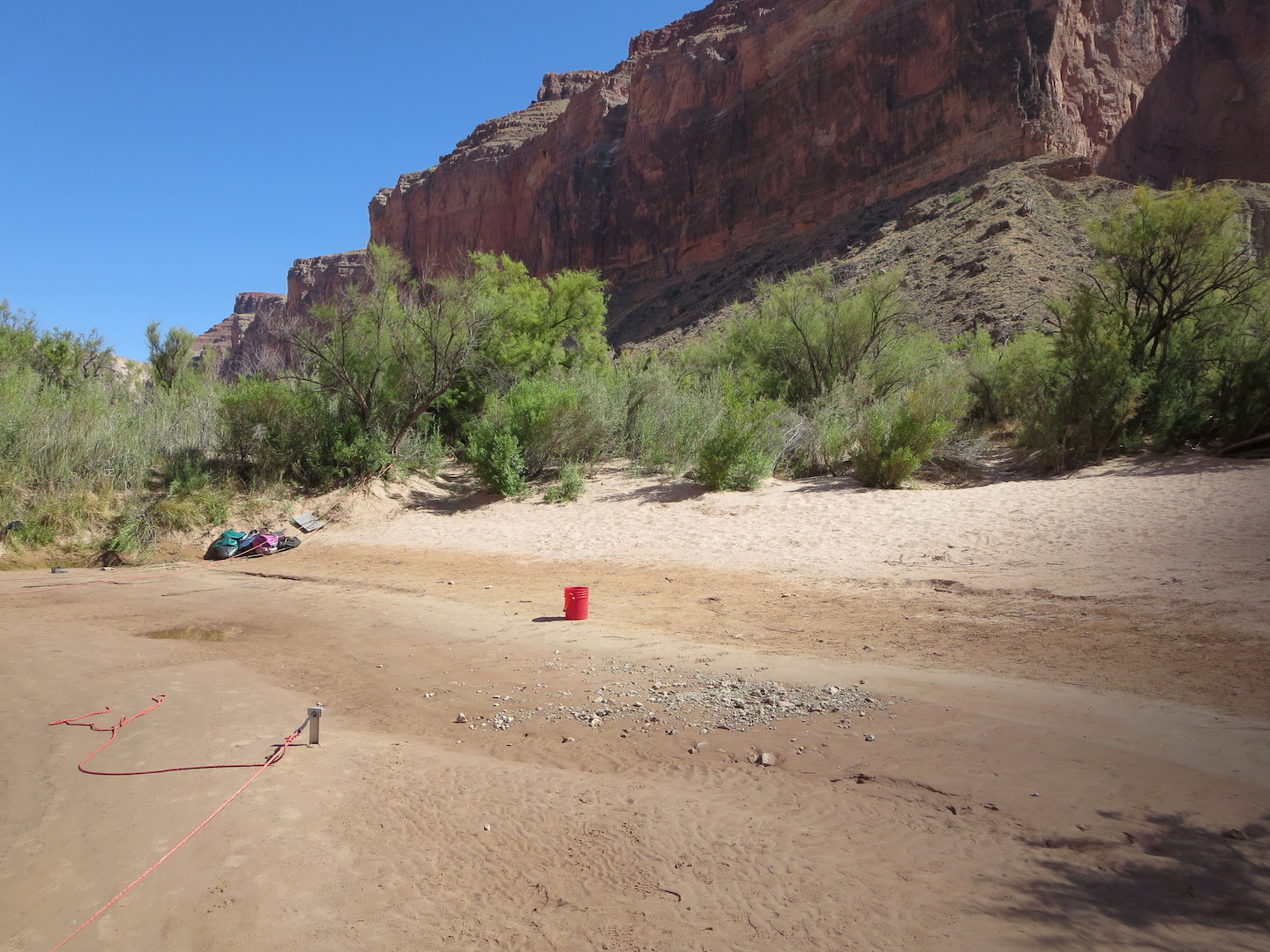
Featured image: A sandbar along the Colorado River in the Grand Canyon. Photo by the author. CC-BY-SA.
Authors: Erich R. Mueller and Paul E. Grams
Journal: Geophysical Research Letters
The Grand Canyon is famous for its stark, bare-bedrock landscapes. But those who make the hike, mule ride, or raft trip into its depths are rewarded with a different view: the green, inviting banks of the Colorado River where ancestral Puebloans once grew corn and where rafters now collect overturned boats between rapids. The Canyon owes its bucolic river-bottom landscape to an unsung hero: sand deposited during large floods that creates hospitable habitat for plants and aquatic animals. Since the building of Glen Canyon Dam just upstream in the 1950s, the Grand Canyon has been starved of sand, damaging its fragile ecosystems. Now, a new study quantifies how controlled floods could help restore sandbars to the Grand Canyon.
Continue reading “Saving sandbars in the Grand Canyon”Glacial Lake Outburst Flood (GLOF) Drowns Villages Along Its Path In The Central Himalayas
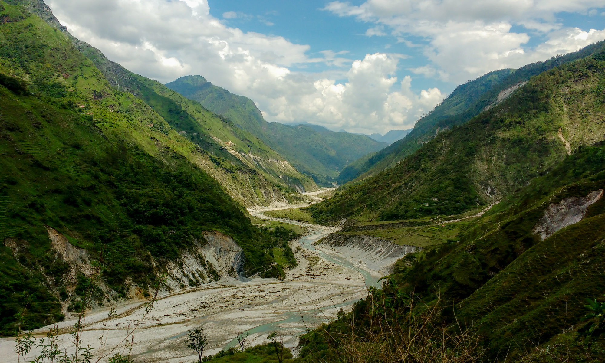
Featured Image: Gori Ganga River near Munisiari, Pithoragarh district, Uttarakhand from Wikipedia under CC BY-SA 4.0.
Paper: Lake Evolution, Hydrodynamic Outburst Flood Modeling and Sensitivity Analysis in the Central Himalaya: A Case Study
Authors: Ashim Sattar, Ajanta Goswami, Anil. V. Kulkarni and Adam Emmer
What could be worse than waking up one morning to find yourself drowning in water? People living in the Himalayan terrain experience this fear every time flash floods occur in the valleys. Glacial retreat induced by climate change led to the formation and evolution of glacial lakes in the Himalayan region. The emerging threats possessed by these lakes result in the incidence of Glacial Lake Outburst Floods (GLOF) which wash away villages along its path. One such incident took place in June 2013 in Kedarnath Valley in Uttarakhand, India with a death toll of as many as five to six thousand people. This eventually led to the strong need for risk assessment and management related to the occurrences of such GLOF events.
Continue reading “Glacial Lake Outburst Flood (GLOF) Drowns Villages Along Its Path In The Central Himalayas”Throwing Earth Off Balance: Evidence Grows that Our Planet is Heating Up Faster than in the Past
Feature image: A satellite looks down at the surface of Earth. Image from Unsplash
Paper: Satellite and Ocean Data Reveal Marked Increase in Earth’s Heating Rate
Authors: N. G. Loeb, G. C. Johnson, T. J. Thorsen, J. M. Lyman, F. G. Rose, and S. Kato
At the most fundamental level, what causes climate change? Simply put, climate change is a symptom of an energy imbalance with more energy coming into Earth’s atmosphere than is able to go out. This imbalance drives changes in our climate system that scientists around the world study, including warming temperatures, rising sea levels, melting glaciers, and coral reef bleaching. Using two different kinds of observational data, a recent study has found evidence that the energy imbalance is increasing, which suggests climate change will only worsen.
Continue reading “Throwing Earth Off Balance: Evidence Grows that Our Planet is Heating Up Faster than in the Past”Breaking the ice — Climate systems during Snowball Earth
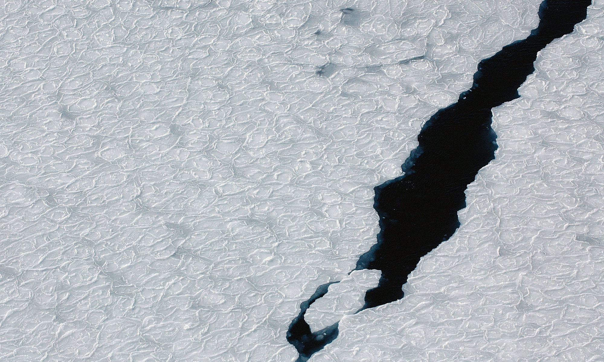
Featuring image: modern sea ice at Antarctica. Denis Luyten (Wikimedia Commons), public domain (CC0).
Paper: Orbital forcing of ice sheets during snowball Earth
Authors: R. N. Mitchell, T. M. Gernon, G. M. Cox, A. R. Nordsvan, U. Kirscher, C. Xuan, Y. Liu, X. Liu, X. He
When you think about the Earth, you might imagine a blue and green globe orbiting the Sun. But the face of Earth has changed significantly over its life time and in the past, there were times when the Earth resembled more to a frozen, white snowball. Geologists, studying the climate during these cold epochs, found a connection between climate conditions in frozen oceans and variations of Earth’s orbit.
Continue reading “Breaking the ice — Climate systems during Snowball Earth”
A New Paradigm in Decision Making?
Paper: Quantifying Topological Uncertainty in Fractured Systems using Graph Theory and Machine Learning
Authors: Gowri Srinivasan, Jeffrey D. Hyman, David A. Osthus, Bryan A. Moore, Daniel O’Malley, Satish Karra, Esteban Rougier, Aric A. Hagberg, Abigail Hunter & Hari S. Viswanathan
Geophysics problems are as difficult as Nobel Prize-winning physics problems.
Dr. Jérõme A.R. Noir
This quote from Dr. Jérõme Noir has stayed with me throughout my career. The idea: while physicists face extreme math, but also have extremely precise data for unknown phenomena, geoscientists must find vital solutions for known phenomena using just a few data points on a planet. With very little data, how can complex problems in geoscience be solved? And, how do we assess the risk of being wrong? An uncertainty quantification framework recently developed by researchers at Los Alamos National Lab uses machine learning to help geoscientists arrive at quality decisions using limited data.
Continue reading “A New Paradigm in Decision Making?”One of the Moon’s most prominent features is older than we thought
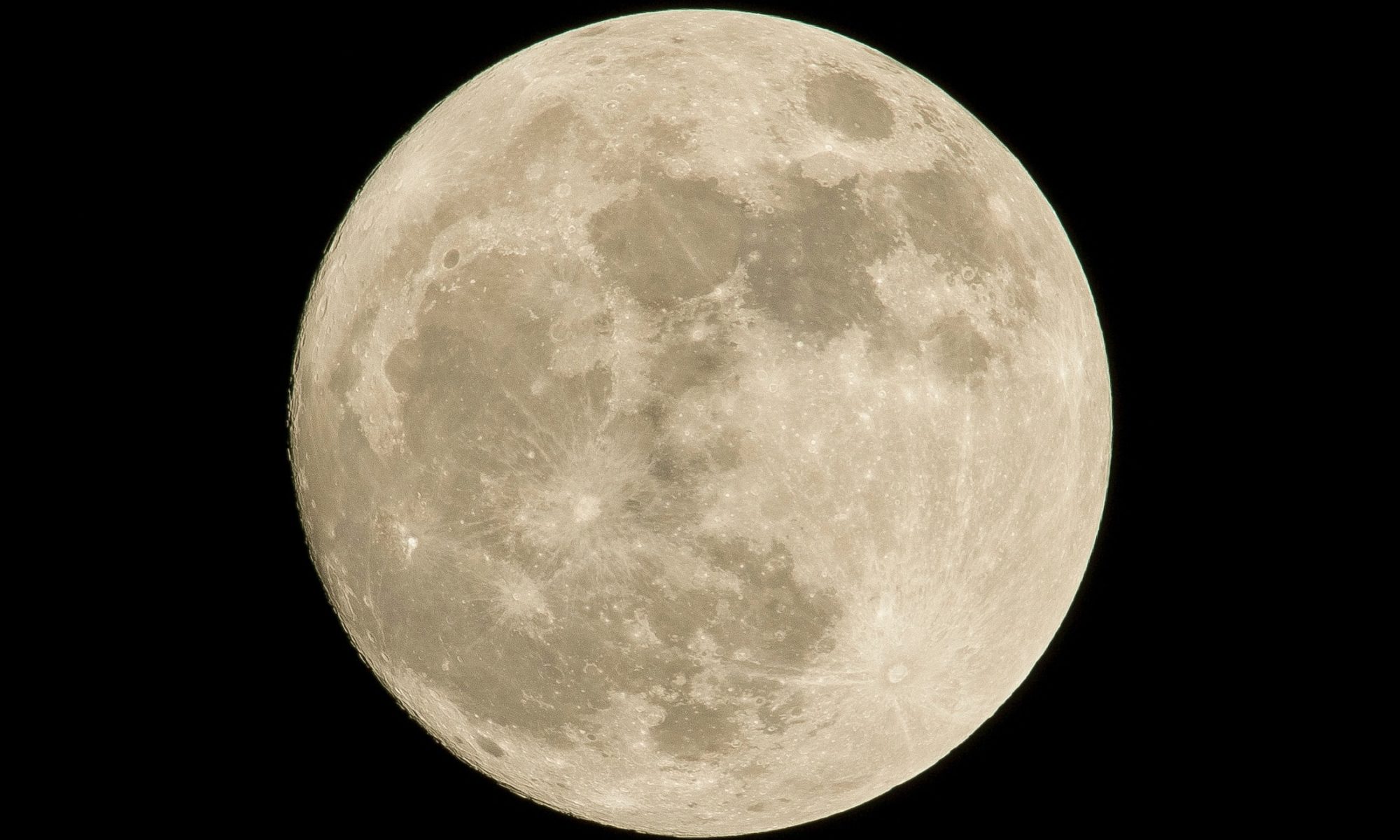
Featured image: the Moon by Pedro Lastra on Unsplash
About 4 billion years ago, the inner Solar System fell prey to an apocalyptic assault by asteroids. These asteroids slammed into the terrestrial planets—Mercury, Venus, Earth, Mars—and the Moon, leaving behind the scars and basins that make up the planets’ landscapes today. This attack, called the Large Heavy Bombardment, helps explain the genesis of a majority of the formations decorating the inner planets of the Solar System. Previous dating of Moon rocks helped pindown the occurrence of the Bombardment somewhere around 3.8 billion years ago. While this window of time is widely accepted in the planetary science community, one of the Moon’s most iconic features, the Serinatits Basin, might poke a hole in it.
Continue reading “One of the Moon’s most prominent features is older than we thought”Buried treasure in the oceans: chemistry of small deep-sea crystals hints at past carbon cycling
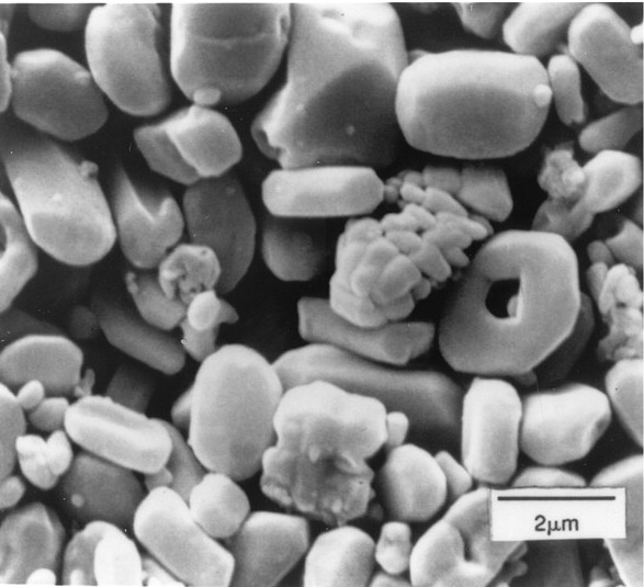
Featured image: Crystals of the mineral barite from the deep ocean (Adapted from Kastner (1999)). These crystals precipitated in ocean sediments and are about 9 million years old, similar in age to some of the barite samples from the study discussed here.
Paper: A 35-million-year record of seawater stable Sr isotopes reveals a fluctuating global carbon cycle
Authors: Adina Paytan, Elizabeth M. Griffith, Anton Eisenhauer, Mathis P. Hain, Klaus Wallmann, Andrew Ridgwell
What do ancient ocean sediments and the walls around x-ray machines have in common? One possible answer? Sometimes the mineral barite is an important part of both! Barite (or barium sulfate) is able to block gamma and x-ray emissions, and therefore is sometimes used in high-density concrete in hospitals and laboratories. In the deep ocean, tiny crystals of barite naturally accumulate on the seafloor over time, particularly in regions ideal for this mineral formation where many decaying remains of organisms sink to the seafloor. The chemistry of this barite can give scientists clues into Earth’s past, which is what Adina Paytan and her colleagues did in this study.
Continue reading “Buried treasure in the oceans: chemistry of small deep-sea crystals hints at past carbon cycling”The only way is… down? Groundwater on Mars could support microbial life in the present day
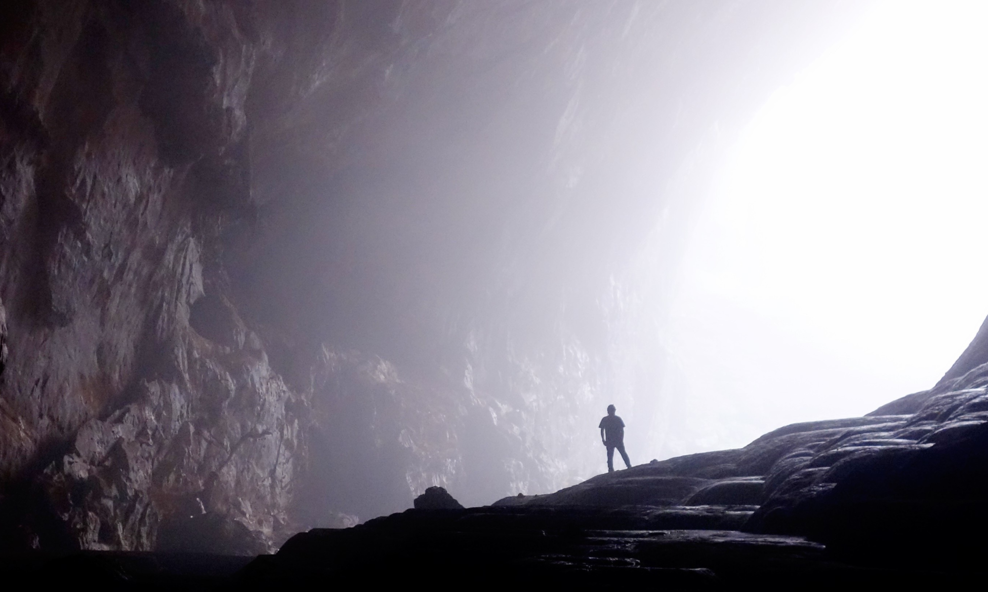
Featured image: A person exploring the rocks of a cave on Earth, Pixabay.
Paper: Earth-like Habitable Environments in the Subsurface of Mars
Authors: J.D. Tarnas, J.F. Mustard, B. Sherwood Lollar, V. Stamenković, K.M. Cannon, J.-P. Lorand, T.C. Onstott, J.R. Michalski, O. Warr.
Mars exploration has been looking “up” recently: the Ingenuity helicopter performed the first powered flight on another planet, and veteran rover Curiosity gave us stunning images from the top of Mount Mercou. But if we want to look for life on Mars, it might be time for us to look down instead. New research suggests that life on present day Mars could be sustained by chemical energy produced through the interaction between water and rocks deep underground, like it is here on Earth.
Continue reading “The only way is… down? Groundwater on Mars could support microbial life in the present day”