
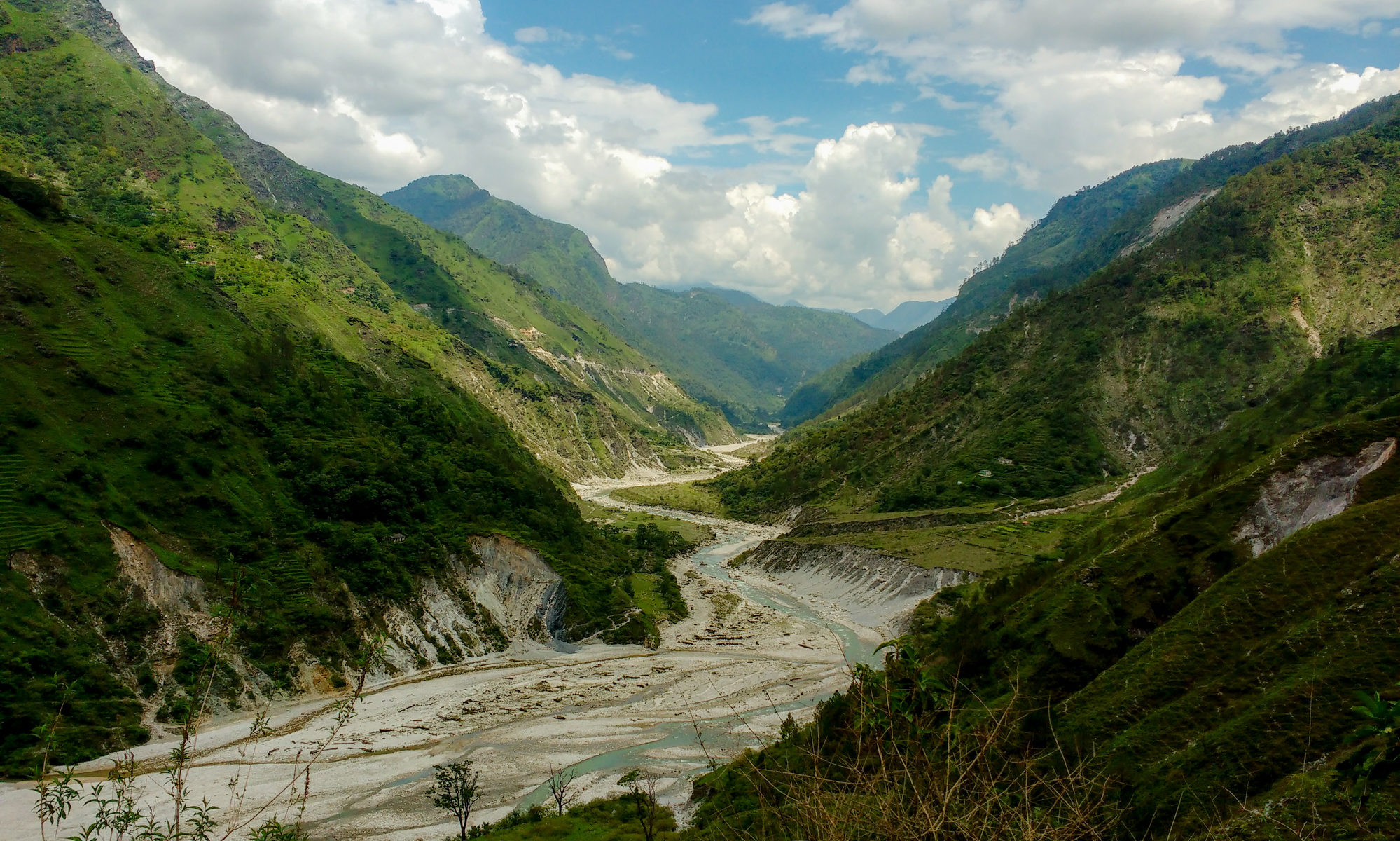
Featured Image: Gori Ganga River near Munisiari, Pithoragarh district, Uttarakhand from Wikipedia under CC BY-SA 4.0.
Paper: Lake Evolution, Hydrodynamic Outburst Flood Modeling and Sensitivity Analysis in the Central Himalaya: A Case Study
Authors: Ashim Sattar, Ajanta Goswami, Anil. V. Kulkarni and Adam Emmer
What could be worse than waking up one morning to find yourself drowning in water? People living in the Himalayan terrain experience this fear every time flash floods occur in the valleys. Glacial retreat induced by climate change led to the formation and evolution of glacial lakes in the Himalayan region. The emerging threats possessed by these lakes result in the incidence of Glacial Lake Outburst Floods (GLOF) which wash away villages along its path. One such incident took place in June 2013 in Kedarnath Valley in Uttarakhand, India with a death toll of as many as five to six thousand people. This eventually led to the strong need for risk assessment and management related to the occurrences of such GLOF events.
GLOFs occurred due to the inclusion of debris in the flood water resulting in a large amount of debris flow with destructive powers. The flood transports moraine material left by the moving glacier consisting of soil and rock, and the rushing water erodes the banks of the river causing landslides along the steep slopes putting the community in grave danger.
In a new study, the researchers assessed the evolution and the potential of GLOF hazards in Safed Lake with special emphasis on hydrodynamic models based on numerical modelling techniques to describe the physical conditions of geological scenarios through the use of numbers and equations. The lake is located at 4882 Meters Above Sea Level (MASL) in a hanging valley which is mainly a tributary valley that enters the main valley from above the main valley floor in the northern basin of the Goriganga River which originates from the Milam glacier in the Central Himalaya. During the past decades, the Safed Lake has grown significantly due to glacial retreat. At 16.2 km downstream of this lake is located the Milam village at the confluence of two major rivers of the region i.e., Gonka and Gori Rivers covering a total area of 0.25 sq.km. in the Pithoragarh district, Uttarakhand. The potential GLOF floods an area of 0.02 sq.km. in Milam village and has the potential to inundate four minor settlements.
The researchers using several remote sensing techniques modelled a potential worst case GLOF scenario and identified exposed elements including dwellings, public facilities and structures in the nearest village settlements. Satellite images from 1968 to 2018 have been used to map the extent of the Safed Lake over the years. The global digital elevation model which is a 3D computer graphic representation of elevation data was used to obtain terrain data for GLOF modelling. The researchers identified that over the course of the last 50 years (1968-2018), Safed Lake has more than doubled in size. The accelerating rate of glacial retreat is associated with the lake growth which tends to further extend the size of the lake in the near future.
A relatively flat moraine periglacial debris with a hummocky surface or small mound dams the lake. The GLOF events are mainly influenced by the stability of this dam. In the Safed Lake, the moraine debris dam is potentially unstable and vulnerable to break. Since the lake is located near steep slopes, there are possible chances of mass movements i.e., downward movement of loose particles of soil and rocks along the slopes primarily caused by gravity which may trigger the potential GLOF events from this lake. The potential GLOF has inundated a portion of the village, affecting a total of 25 to 30 buildings on the site. The majority of the village’s settlements are unaffected because the flow channel takes a sharp turn to the south and the flow is obstructed by the terrain with a higher elevation. If the depth of the breach or rupture of the dam is reduced to half, then the impact of a potential GLOF is significantly reduced.
With the advancement of GIS technology and hydrological modelling approach, the possibilities of large-scale glacial retreat in the high mountainous regions on a global scale and the evaluation of the devastation that will take place in case of any hazard become easier than before. Hence, the predictions from this approach will estimate the extent of glacial retreat that can be foreseen for the next few decades for the rescue of innocent people residing in these regions.
Glacial Lake Outburst Flood (GLOF) Drowns Villages Along Its Path In The Central Himalayas by Shilpa Saha is licensed under a Creative Commons Attribution-ShareAlike 4.0 International License.