Our enduring fascination with groundwater springs

Landscape with mountains in the distance and trees, rocks, and a path in the foreground

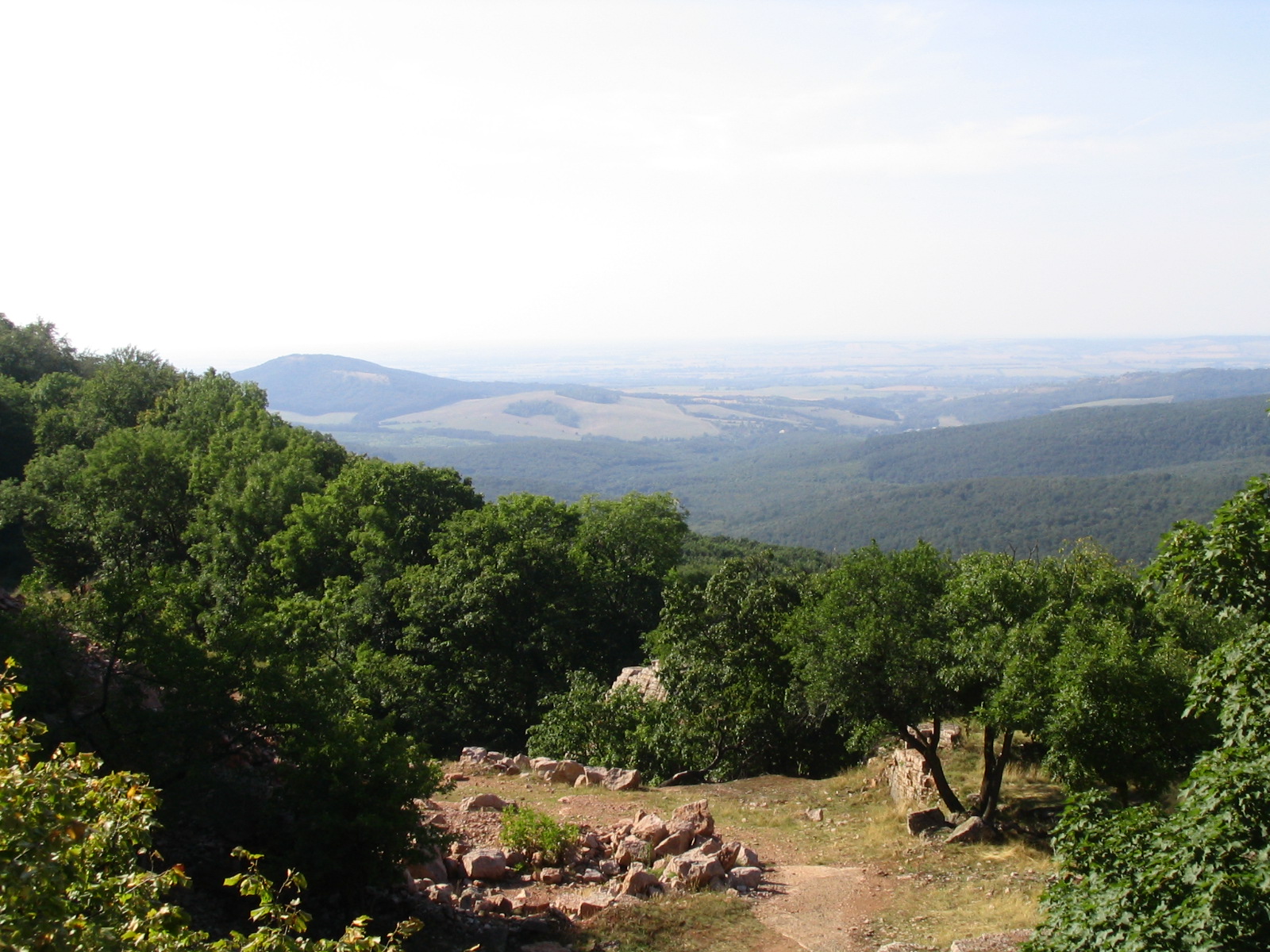
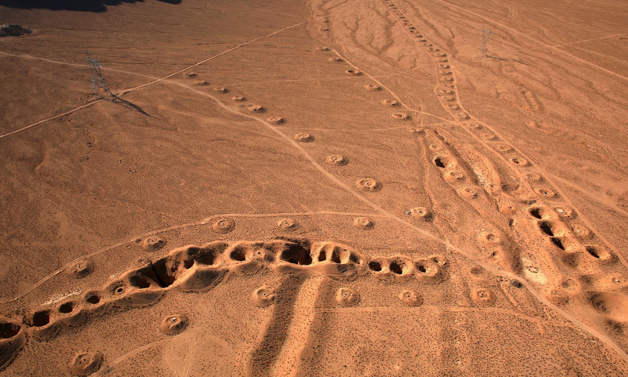
Featured Image: The middle zone of the Gerecse Mountains in Hungary via Wikimedia Commons. Public Domain.

Article: Springs regarded as hydraulic features and interpreted in the context of basin-scale groundwater flow
Authors:
Tóth, Á., Kovács, S., Kovács, J., & Mádl-Szőnyi, J.

O Fount Bandusia, brighter than crystal,
worthy of sweet wine and flowers,
tomorrow shalt thou be honoured with
a firstling of the flock whose brow,

with horns just budding, foretokens love
and strife. Alas! in vain; for this
offspring of the sportive flock shall
dye thy cool waters with its own red blood.

Thee the fierce season of the blazing
dog-star cannot touch; to bullocks wearied
of the ploughshare and to the roaming flock
thou dost offer gracious coolness.

Thou, too, shalt be numbered among the
far-famed fountains, through the song I
sing of the oak planted o’er the grotto
whence thy babbling waters leap.

Horace (56BC-8BC) Ode 3.13

This ode by the Roman poet Horace is part of a long tradition of art and literature honoring groundwater springs, called ‘founts’ or ‘fountains’ in this translation. It is no wonder why: they can provide high-quality water that continues to flow even in the heat of a Mediterranean summer, “the fierce season of the blazing dog-star,” when surface water is often not available. But where does this water come from? Is it from large underground lakes, as the Romans suspected? Some of the same characteristics Horace names in this poem can help scientists figure this out.

Continue reading “Our enduring fascination with groundwater springs”

Rapidly growing lakes are changing the drainage of the Tibetan Plateau

MODIS view of the Tibetan Plateau showing numerous lakes

Featured image: MODIS-Aqua image of the Qinghai-Tibet Plateau via NASA Earth Observatory, created by Jesse Allen.

Article: Ongoing drainage reorganization driven by rapid lake growths on the Tibetan Plateau
Authors: Kai Liu, Linghong Ke, Jida Wang, Ling Jiang, Keith S. Richards, Yongwei Sheng, Yunqiang Zhu, Chenyu Fan, Pengfei Zhan, Shuangxiao Luo, Jian Cheng, Tan Chen, Ronghua Ma, Qiuhua Liang, Austin Madson, Chunqiao Song

Whether we recognize it or not, the land surface around us is organized into watersheds or drainage basins–areas that share a common outlet for precipitation. On human timescales, drainage basins are typically fixed, because they are defined by the slopes and contours of topography that change very slowly or very infrequently. In the Tibetan Plateau, however, rapid climate change is altering drainage basins before our eyes. Recently, Liu and colleagues from China, the United States and the United Kingdom used satellite data to identify dramatic changes in drainage basins over a period of only 18 years.

Continue reading “Rapidly growing lakes are changing the drainage of the Tibetan Plateau”

What can a delta’s history tell us about groundwater’s future?

Feature image: Mosiac of the the Ganges Delta in false color created with imagery from the Sentinal 2 satilite. CC-By Annamaria Luongo, via Wikimedia Commons


Article: Linking the Surface and Subsurface in River Deltas—Part 2: Relating Subsurface Geometry to Groundwater Flow Behavior
Authors: Xu, Z., Hariharan, J., Passalacqua, P., Steel, E., Paola, C., & Michael, H. A.

Deltas are striking features on Earth’s surface, where rivers meet large water bodies. Their flow spreads out into many channels, depositing the sediment they have been carrying, potentially since their headwaters. This sediment creates and sustains the delta, which can be hundreds of miles across. Beyond being mesmerizing, deltas are essential to human civilization, past and present. Nearly half a billion people live on deltas around the world, where the deposited sediment hosts some of the most fertile agricultural land available.

Continue reading “What can a delta’s history tell us about groundwater’s future?”

Landscapes get depressed too: limestone depressions pattern a wetland landscape

Aerial view of the Big Cypress National Preserve

Feature Image: Limestone depressions cover the landscape in the Big Cypress National Preserve in Florida, USA. (C) Google.

Article: Competition Among Limestone Depressions Leads to Self‐Organized Regular Patterning on a Flat Landscape
Authors:
Dong, X., Murray, A. B., & Heffernan, J. B.

Patterns are abundant in nature, from evenly spaced termite mounds and vegetation patches to repeating series of ridges and valleys to sand dunes. The questions of why these patterns are so uniform and why they are found in disparate settings has been the subject of intense scientific interest over the last decades. Mathematical tools have given scientists the ability to study these “complex systems,” where behavior of the whole system emerges from interactions between smaller parts. While many different systems have been studied, recently researchers from the Duke University and the University of California at Davis investigated a patterned landscape with mysterious origins: the large, evenly spaced depressions in limestone bedrock that cover nearly 3000 square kilometers of the Big Cypress National Preserve in the Florida Everglades.

Continue reading “Landscapes get depressed too: limestone depressions pattern a wetland landscape”

Wet Feet? No problem: sandy humid forests grow best with access to groundwater

Pine forest in Governor Thompson State Park, WI, USA

Feature Image: Pine forest in Governor Thompson State Park, WI, USA. Yinan Chen, Public Domain, via Wikimedia Commons

Article: Groundwater subsidizes tree growth and transpiration in sandy humid forests
Authors: D. M. Ciruzzi and S. P. Loheide

Drought is often in the news these days, especially in places with arid and semi-arid climates where water is already scarce. While ecosystems have adapted over millennia to cope with dry climates and seasonal droughts, the increasing intensity and frequency of drought due to climate change and human demand for water can pose significant threats to ecosystem health and survival.

Continue reading “Wet Feet? No problem: sandy humid forests grow best with access to groundwater”

Water in the rocky layer cake beneath us

Konza Prairie Biological Station

Featured Image: Konza Prairie near Manhattan, Kansas, USA. Credit: David Litwin.

Paper: Toward a new conceptual model for groundwater flow in merokarst systems: Insights from multiple geophysical approaches.

Authors: Sullivan, P. L., Zhang, C., Behm, M., Zhang, F., & Macpherson, G. L.

The dissolution of limestone by atmospheric water forms a set of recognizable features collectively known as karst: enormous caves with stalactites and stalagmites, sinkholes, chasms, and narrow, towering  columns of rock. The hydrology of karst landscapes is often incredibly complex, as water can flow rapidly through dissolution-formed conduits below ground, and topography offers fewer clues to groundwater flow than in most other landscapes. While dramatic karstic landscapes have received a lot of scientific attention, even smaller limestone units can host karst features that affect hydrology.

Continue reading “Water in the rocky layer cake beneath us”

Looking below ground for secrets to drought resilience

Santa Ynez Mountains

Featured image: Oak savanna near the Santa Ynez mountains in California. Clyde Frogg, public domain.

Paper: Low Subsurface Water Storage Capacity Relative to Annual Rainfall Decouples Mediterranean Plant Productivity and Water Use From Rainfall Variability

Authors: Hahm, W. J., Dralle, D. N., Rempe, D. M., Bryk, A. B., Thompson, S. E., Dawson, T. E., & Dietrich, W. E.

Between 2011 and 2016, a severe drought killed over 100 million trees in California. However, not all places responded to this drought in the same way. In some locations, trees and other plants seemed hardly affected, while in other places mortality was widespread. What caused this difference? In a 2019 study, Hahm and colleagues explored the role that water storage in ecosystems has on their resilience to drought. With extreme droughts becoming more common due to climate change, understanding why certain areas are more vulnerable is important for making predictions and improving forest management.

Continue reading “Looking below ground for secrets to drought resilience”

When space is time: evolving soil hydrology on glacial moraines

Featured image: The Stein Glacier in the central Swiss Alps, where the study was conducted. Left panel © Google, right panels CC BY Florian Lustenberger in Hartmann et al. 2020.

Paper: Field observations of soil hydrological flow path evolution over 10 millennia

Authors: Hartmann , A., Semenova, E., Weiler, M., & Blume, T.

The way water flows through soil and sediments can be incredibly diverse. In the simplest case, water flows uniformly through all of the pore space between grains. Most soils act very differently though. Water moves quickly through certain pathways and not at all through other areas. This preferential flow of water has important consequences for the ability of the soil to hold water, and for the movement of nutrients and contaminants. Understanding what factors affect the evolution of preferential flow pathways can help scientists better understand how soils work now, and how they will respond to human induced changes into the future.

Continue reading “When space is time: evolving soil hydrology on glacial moraines”

The Extraction of Hidden Waters: 11th century Persian scientist laid the foundations for hydrology and water engineering

Qanat: Aerial View

Featured Image: Areal view of the vertical shafts of a qanat in Jupar, Iran. S.H. Rashedi / CC BY-ND via UNESCO.

Paper: The millennium-old hydrogeology textbook The Extraction of Hidden Waters by the Persian mathematician and engineer Abubakr Mohammad Karaji (953 CE–1029 CE)

Authors: Ataie-Ashtiani, B., & Simmons, C. T.

Reliable sources of water are essential for every civilization. However, the Western science of hydrology is relatively young. It started perhaps at the turn of the 19th century when John Dalton completed the first water balance for England and Wales by estimating the amount of water that fell as precipitation and left as evaporation and flow from rivers to oceans. Since ancient times, civilizations have built water infrastructure like aqueducts and wells, and writings by Aristotle and Plato suggest that the ancient Greeks had a basic understanding of the water cycle. Though in many respects, the study of hydrology in Europe and the Mediterranean stagnated between the time of these early philosophers and the 19th century.

Continue reading “The Extraction of Hidden Waters: 11th century Persian scientist laid the foundations for hydrology and water engineering”

Thickets and patches: woody plants are changing water availability in dry landscapes

Featured Image: Sparse woody plant encroachment, known as xerification, occurs here in the Chihuahuan Desert north of Coyame, in Chihuahua, Mexico. Source: Ricraider / CC BY-SA via Wikimedia Commons.

Paper: Woody Plant Encroachment has a Larger Impact than Climate Change on Dryland Water Budgets

Authors: A.P. Schreiner-McGraw, E.R. Vivoni, H. Ajami, O.E. Sala, H.L. Throop, and D.P.C. Peters

Almost half of the land on Earth is arid, with little precipitation. Arid lands are home to roughly 20% of the world’s human population, and to much of the world’s livestock as well. Arid lands are changing rapidly, both with respect to land cover and water availability. While the effects of climate change on arid places have attracted a lot of attention, the encroachment of woody plants into grasslands is also rapidly transforming arid landscapes. New research shows that the effects of woody plant encroachment are even more important than climate change for the water budget of arid ecosystems.

Continue reading “Thickets and patches: woody plants are changing water availability in dry landscapes”