
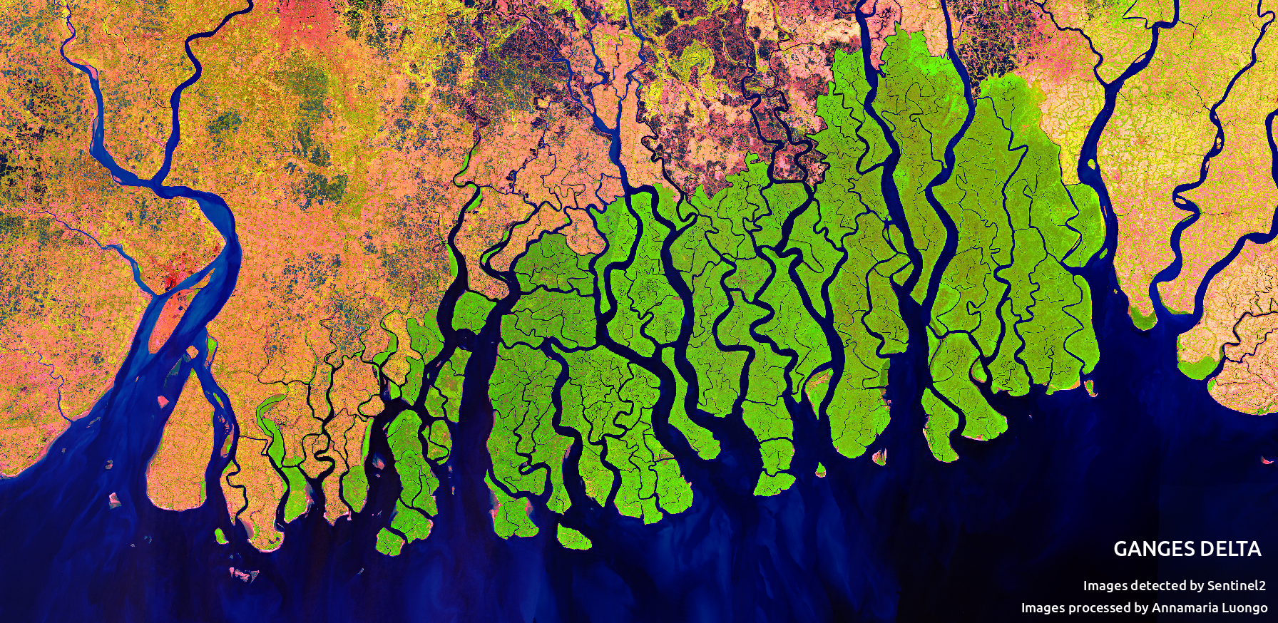
Feature image: Mosiac of the the Ganges Delta in false color created with imagery from the Sentinal 2 satilite. CC-By Annamaria Luongo, via Wikimedia Commons
.png)
Article: Linking the Surface and Subsurface in River Deltas—Part 2: Relating Subsurface Geometry to Groundwater Flow Behavior
Authors: Xu, Z., Hariharan, J., Passalacqua, P., Steel, E., Paola, C., & Michael, H. A.
Deltas are striking features on Earth’s surface, where rivers meet large water bodies. Their flow spreads out into many channels, depositing the sediment they have been carrying, potentially since their headwaters. This sediment creates and sustains the delta, which can be hundreds of miles across. Beyond being mesmerizing, deltas are essential to human civilization, past and present. Nearly half a billion people live on deltas around the world, where the deposited sediment hosts some of the most fertile agricultural land available.
While all of this is visible from the surface, what happens unseen below ground is also vital. Groundwater fills the pores in the deposited sediment and is widely used by delta residents in households and for irrigation. This water is increasingly vulnerable to saltwater intrusion from oceans, contamination from naturally occurring and human-derived substances, and depletion from overuse. We need to understand more about these groundwater systems to protect them, but with all of the action happening below ground, it can be difficult and expensive to make measurements. We know something about the sediments that the groundwater is moving through though – they were deposited over time by the delta, gradually building new land out into the water body. How then does sedimentary evolution affect the structure of deposits that make up deltas, and how does this affect groundwater flow? In a recent paper, researchers led by Zhongyuan Xu from University of Delaware used numerical experiments to find out.
In the simplest sense, the deposits of deltas are of two types: coarse sediment (sand) tends to be deposited in river channels, while fine sediment (silt and/or mud) tends to be deposited in floodplains when water spills over the channel banks. Over time, channels move around to find the paths of least resistance, creating complex and interwoven patterns of channel and floodplain deposits. The researchers chose to focus on two key delta characteristics that affect the deposits formed: the fraction of sand in the sediment entering the delta, and the rate of sea level rise. Deltas with more sand inputs tend to have more mobile channels, while increasing sea level rise relative to the land surface changes the incoming sediment’s depositional patterns.
Both the properties of the sediment and the arrangement of deposits affect how groundwater moves through the subsurface. Fine sediment particles can pack closer together and provide more resistance to water flow than larger particles. For this reason, groundwater may flow preferentially through sandy deposits. Channel deposits also tend to be well-connected horizontally, making them likely paths for groundwater flow. The researchers used a computer model to simulate many deltas with different rates of sea level rise and proportion of sand in the incoming sediments. They took the resulting 3D structures of deposits and simulated groundwater flow in two cases: primarily horizontal flow toward the receiving water body, and primarily vertical flow from land surface to depth. In addition to measuring overall flow rates, the researchers tracked the movement of simulated “particles” to determine pathways and travel times of groundwater.
Surprisingly, the results showed that deltas with lower fractions of sand have more horizontal connectivity of flow through fast, preferential flow pathways. Moreover, because there are fewer sand-rich pathways, the water actually has to move faster to achieve the same groundwater flow rate found in a delta that is mainly composed of sand. For example, consider that the water coming out of a squirt gun has to be significantly faster than from a fire hose to achieve the same flow rate. While it was previously assumed that muddy deltas could provide more flow resistance against saltwater intrusion and contaminant movement, the results presented in Xu’s paper suggest that these deltas could also be vulnerable. Deltas with more mud also had greater vertical groundwater connectivity, as less-mobile channel deposits tend to stack on top of one another, allowing for saltwater or contaminants to potentially enter from above. Sea level rise also increased connectivity of groundwater flow, though a clear trend was only apparent for flow in the horizontal direction.
Groundwater flow is complicated and hidden. However, Xu and colleagues’ results show that there are features of the landscape’s history that can reveal groundwater flow and transport features that are essential to managing water resources in deltas today and in the future. In a companion piece, the authors discuss how the connectivity of the subsurface sediment could be related to topographic features that are observed from drone or satellite, further expanding our ability to understand and predict the future of these complex, vital landscapes.
What can a delta’s history tell us about groundwater’s future? by David Litwin is licensed under a Creative Commons Attribution-ShareAlike 4.0 International License.