
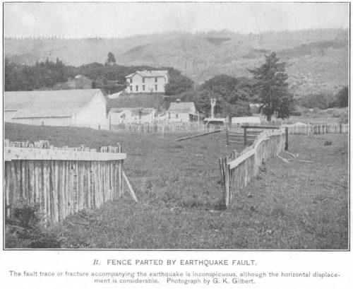
Featured image: A fence broken by the 1906 San Francisco earthquake, by G. K. Gilbert. Public domain.
Paper: Absolute Centroid Location of Submarine Earthquakes from 3D Waveform Modeling of Water Reverberations
Authors: Jorge C. Castellanos, Zhongwen Zhan, Wenbo Qu
For the millions of people living near the San Andreas fault zone in California, the billion-dollar question is when the next “big one” is going to happen.
Historically, several segments of the San Andreas have hosted good-sized earthquakes, with moderate (magnitude 5-6) events occurring on the central Parkfield segment at roughly 20-year intervals, and larger (magnitude 7+) events on the southern segment every 150 years or so. The last big event on the southern segment of the fault was the 1857 Fort Tejon earthquake, so statistically speaking, the fault is overdue. But earthquake recurrence times have large uncertainties, and we don’t fully understand what determines segmentation along the fault. To understand seismic hazard in a place like California, we need to answer a basic question: what factors control when and where faults like the San Andreas slip?
Jorge Castellanos and coauthors have developed a new method for accurately locating submarine earthquakes that may help us to answer that question. Yes, the San Andreas is a terrestrial fault, but one of the best places to study when and where earthquakes occur is actually on similar faults beneath the oceans. Oceanic transform faults offset segments of mid-ocean ridges, the spreading centers on the seafloor where new oceanic crust is formed. These faults are like simpler versions of the San Andreas: they have the same type of motion, with the two sides of the fault slipping past each other horizontally, but the oceanic faults cut through oceanic crust, which is thinner, younger, and generally simpler than the continents in terms of composition and structure. In this simpler geologic setting, it’s easier to connect spatial and temporal patterns in earthquake activity to physical factors like temperature on a fault. However, accurately measuring the spatial and temporal patterns of submarine earthquakes is difficult without extensive (and expensive) seafloor instrumentation.
The new earthquake location method of Castellanos and coauthors helps solve this problem by enabling us to accurately locate submarine earthquakes with data from seismometers on land. Their method takes advantage of how seismic waves from submarine earthquakes echo through the water column, bouncing multiple times between the seafloor and sea surface. These reverberations show up in seismic data as a mess of overlapping waves. Castellanos and coauthors used computer models to show that the pattern of reverberations depends strongly on earthquake location and on the topography of the seafloor. Starting with a rough guess at the earthquake location, they can simulate the complex signal that a seismometer on land would record, compare the predicted waveform to observations, and pick the location that matches best. This method has significantly smaller location uncertainties than traditional location methods in the oceans, which don’t make use of the water column reverberations.
So far, the method has only been tested for a handful of earthquakes in the Pacific, but it has the potential to truly transform our understanding of transform faults. By using this method to accurately locate submarine earthquakes, we can gather more data on when and where these earthquakes occur, and begin to pick apart the factors that control things like fault segmentation and earthquake recurrence times both in the oceans and up here on land.

How to locate oceanic earthquakes without getting your feet wet by Hannah Mark is licensed under a Creative Commons Attribution 4.0 International License.