From Arizona to Mars: How Impact Craters Have Shaped the Solar System

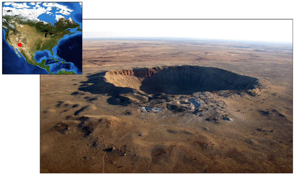
Featured image: Meteor Crater, located in southwestern United States. Credit: David A. Kring (2017).

Book: Kring, D. (2017) Guidebook to the geology of Barringer Meteorite Crater, Arizona (a.k.a. meteor crater). 2nd edn. LPI Contribution No.2040.

Author: David A. Kring

Impact cratering has been occurring throughout geological time. Earth’s best preserved impact crater lies in Arizona. Barringer Meteorite Crater – or Meteor Crater – formed when an iron meteorite impacted into northern Arizona ~50,000 years ago. Since then, the landscape has seen little erosion, creating a beautifully preserved impact crater. The site can be accessed by tourists only in restricted areas, but the wider crater can be used by select geologists and is used by NASA to train astronauts… and somehow, I found myself there alongside a group of PhD students from across the world.

Continue readingFrom Arizona to Mars: How Impact Craters Have Shaped the Solar System

Water under Fire

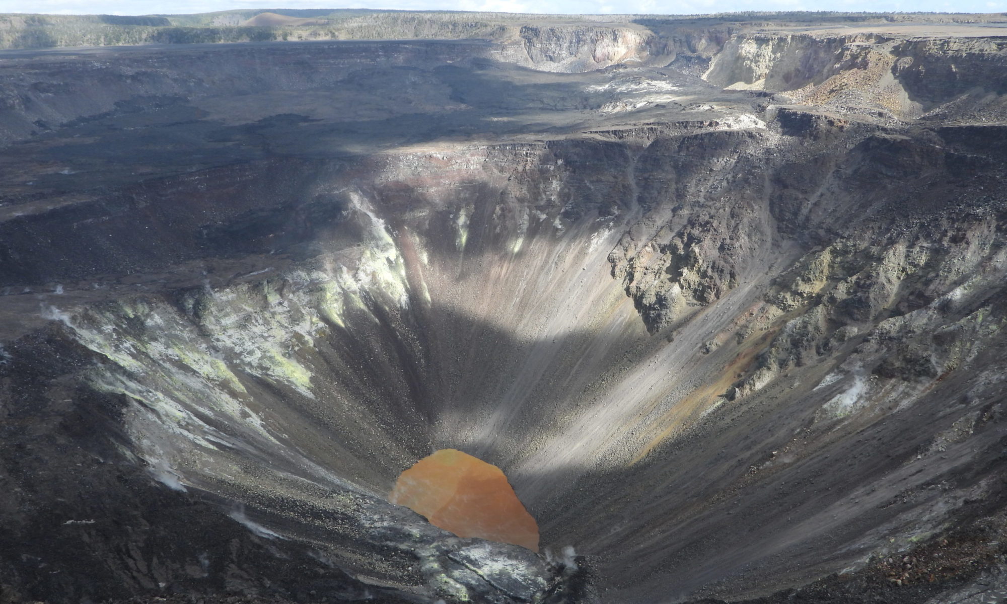
A small, orange-brown lake is set in a deep crater of grey-brown rock

Paper: Modeling Groundwater Inflow to the New Crater Lake at K¯ılauea Volcano, Hawai’i

Authors: SE Ingebritsen, AF Flinders, JP Kauahikaua, and PA Hsieh

Accompaniment to the Third Pod from the Sun episode

When we think of opposing forces in the natural world, fire and water come quickly to mind; elemental powers always at odds, one winning out over the other. There are a few interesting times and places, though, where they can co-exist, occupying some of the same spaces in the landscape.  Perhaps the most visible example of these in the geological world are hydrothermal systems in volcanically active regions, places where earth’s internal heat meets subterranean water with, at times, explosive results.    

For decades the crater at the summit of the Kilauea volcano in Hawai’i, one of the world’s most active volcanoes, was filled with a pool of lava. The constant flow of magma churning up from the volcano’s depths kept this lava lake supplied with fresh molten material.  

That is, until a major eruption in 2018 shifted the volcanic pipelines beneath the lake causing it to empty dramatically at the same time major fissure eruptions were sending waves of lava over residential areas near the eastern flank of the mountain. When a now-empty summit crater began to fill with water, no one was quite sure what to expect.  

Eruptions at Kilauea have been frequent occurrences over the last at least 200 years with varying frequency and intensity. Some of these events have led to what geologists call ‘phreatic eruptions’, highly explosive events that occur when erupting lava comes in contact with cold water causing a high energy eruption of steam, ash, and rock fragments. Often in Hawai’i this occurs when lava flows reach the ocean; however, in the 2018 eruption, groundwater posed a new concern. When the lava lake at the summit began to drop below the water table, both water and lava were essentially trying to fill in the same spaces. At that point there was speculation that some highly explosive events could be imminent as the lava reached the groundwater table and larger volumes of water began to flow into the crater. Relatively little was known about the groundwater table in the area and how long it would take to fill the now empty lakebed emptied of lava. 

Researchers from the U.S. Geological Survey (USGS) hurried to develop new conceptual and numerical computer models to predict how the balance between lava flow and groundwater flow would shift as these internal conduits in the mountain emptied of molten material and began to fill with water. The groundwater flow models were challenged by the temperatures and pressures involved in the Kilauea scenario and initial predictions ranging from 3 to 24 months were narrowed as the lake began to fill in July of 2019, about 14 months after the lava lake collapse. In a paper in the journal Groundwater they explain how water flow was delayed by many months by the inability of groundwater to move through the extremely hot rock. New observations of on the ground conditions, such as inflow, temperature, and evaporation rates helped to refine the existing model to better understand the potential for future interactions in the crater and give volcano observers better tools to predict these potentially hazardous magma-water interactions in future eruptions. 


Water under Fire by Avery Shinneman is licensed under a Creative Commons Attribution-ShareAlike 4.0 International License.
Unravelling the secrets of brine pools

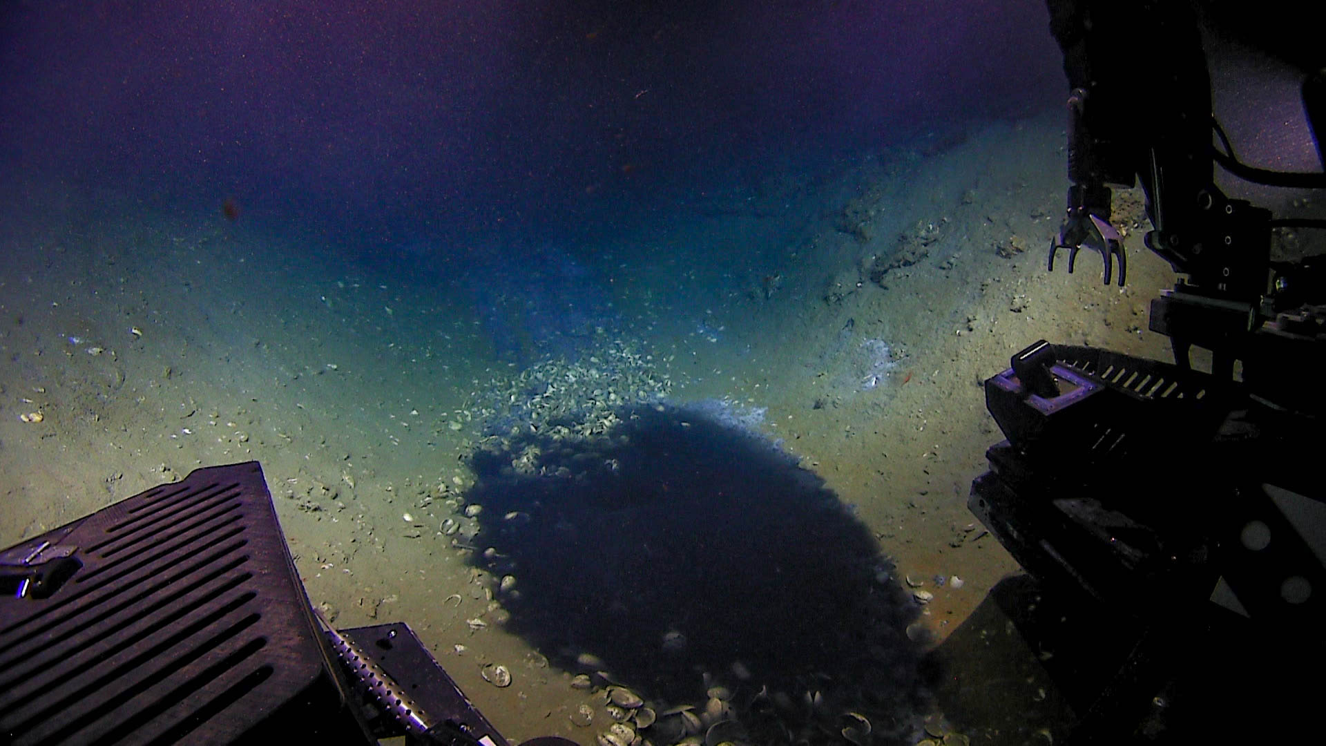
Featured image: ROV Deep Discoverer approaching a brine pool in the Gulf of Mexico (2018). NOAA Office of Ocean Exploration and Research (Public domain)

Paper: Discovery of the deep-sea NEOM Brine Pools in the Gulf of Aqaba, Red Sea

Authors: Sam J. Purkis, Hannah Shernisky, Peter K. Swart, Arash Sharifi, Amanda Oehlert, Fabio Marchese, Francesca Benzoni, Giovanni Chimienti, Gaëlle Duchâtellier, James Klaus, Gregor P. Eberli, Larry Peterson, Andrew Craig, Mattie Rodrigue, Jürgen Titschack, Graham Kolodziej, Ameer Abdulla

Today, scientists are turning to extreme ecosystems on Earth to understand how life evolved on Earth and how life might be on other planets. One such alien place exists in the darkness of the ocean. It’s an extreme ecosystem where even fish think twice before entering. Brine pools are well known for being ‘death traps’ – extremely toxic, and any organism (with a few exceptions) that swims into them dies instantly. They are lakes of hypersaline water present on the ocean floor that are so dense that Remotely Operated Submersible Vehicles (ROVs) float on them!

Continue reading “Unravelling the secrets of brine pools”

Forests under (mega)fire in the Pacific Northwest

Accompaniment to the Third Pod from the Sun Episode

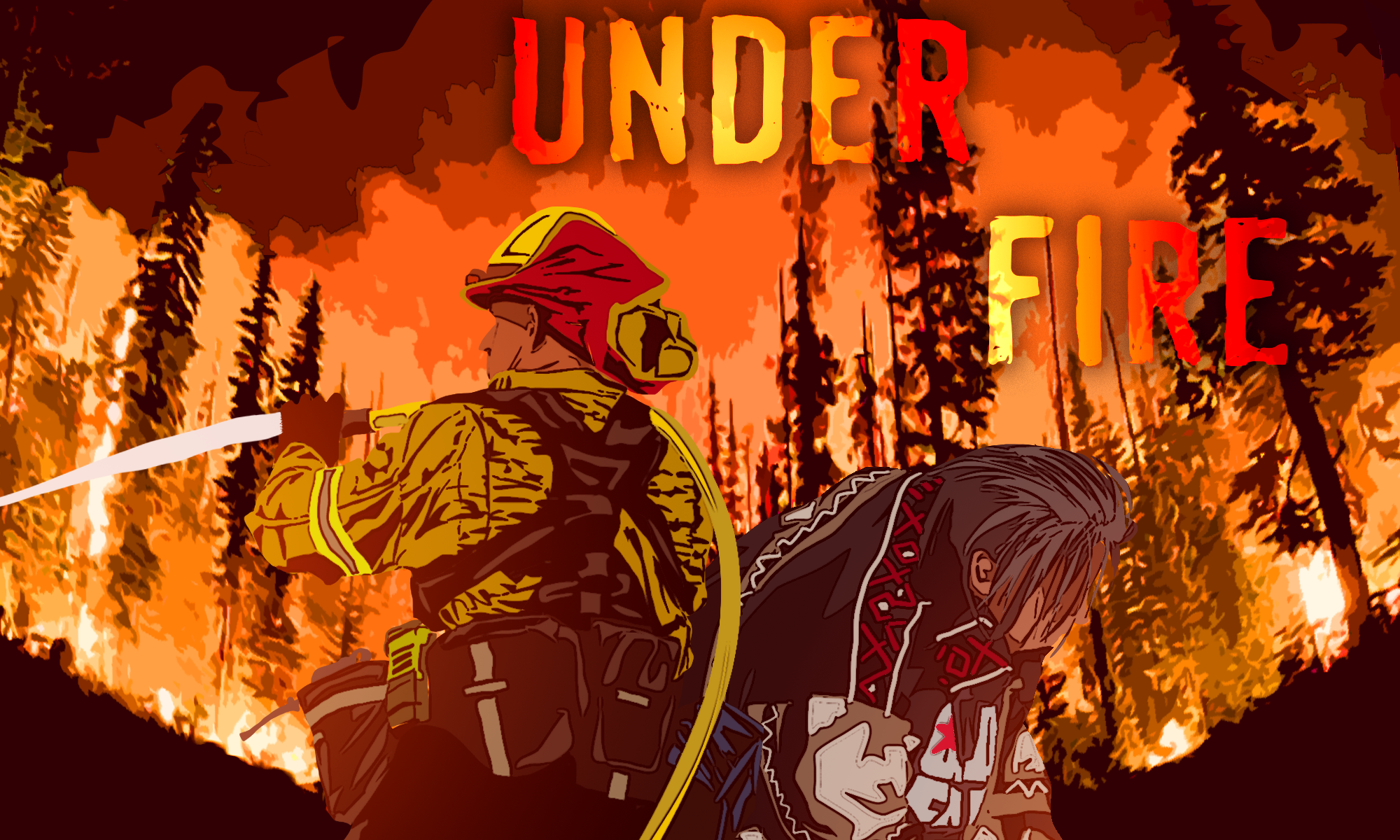
Featured Image: “Forests under fire” original artwork by Jace Steiner. Used with permission.

Paper: Cascadia Burning: The historic, but not historically unprecedented, 2020 wildfires in the Pacific Northwest, USA

Authors: Matthew Reilly, Aaron Zuspan, Joshua Halofsky, Crystal Raymond, Andy McEvoy, Alex Dye, Daniel Donato, John Kim, Brian Potter, Nathan Walker, Raymond Davis, Christopher Dunn, David Bell, Matthew Gregory, James Johnston, Brian Harvey, Jessica Halofsky, Becky Kerns

The natural legacy of fire in the Pacific Northwest (PNW) is complex.  The variable geography of the wet, westside temperate rain forests, to the dry, high elevation forests beyond the Cascade crest make it difficult to find a “catch-all” description of PNW forest fires.  For instance, drier forests of ponderosa pines in eastern Washington experience more frequent, low-severity fires while the temperate rain forests of western Oregon rarely see fires.  However, scientists can reconstruct historical fire regimes and identify centuries-long patterns of burning related to precipitation, temperature, and ignition frequency to define what are historical patterns and what is modern climate change.  In 2020, multiple megafires (a wildfire that burnt more than 100,000 acres of land) broke out in the typically wet parts of Oregon and Washington, burning more than 700,000 acres combined.  This event is called the 2020 Labor Day Fires, and Matthew Reilly and colleagues have revealed these fires were likely part of historical regimes and not a product of accelerated climate change.

Continue reading “Forests under (mega)fire in the Pacific Northwest”

The seeds of continental crust

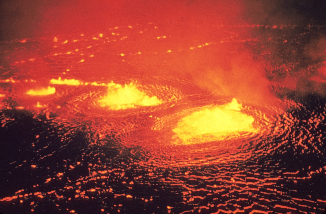
Featuring image: Lava lake in Hawaii Volcanoes National Park, May 1954. Photo by J.P. Eaton, Public Domain (C0).

Paper: Did transit through the galactic spiral arms seed crust production on the early Earth?

Authors: C.L. Kirkland, P.J. Sutton, T. Erickson, T.E. Johnson, M.I.H. Hartnady, H. Smithies, M. Prause

Plate tectonics reshape the face of Earth over long periods of time, but how the first continental crust evolved is still unclear. Now, a new investigation of very old rocks showed that Earth structure might have been influenced by the galactic dance of our solar system through the Milky Way.

The dating of old continental crust from the Precambrian (2.8 – 3.6 billion year old rocks) indicates that the formation of continental crust happened in cycles. Scientists discovered these cycles, which indicate that the crust didn’t form continuously, decades ago by dating minerals contained in continental crust all over the globe. Now, new research suggests that these cycles correspond to the periods where Earth passed through the spiral arms of our galaxy, the Milky Way.

Continue reading “The seeds of continental crust”

Getting to Grips With the Sixth Mass Extinction

Featured Image: It is well-understood that the Earth’s biodiversity is in severe decline. However, it is less clear if this decline can now be called a mass extinction. Public domain image via. The Wilderness Society.

Paper: The Sixth Mass Extinction: fact, fiction, or speculation?

Authors: Robert H Cowie, Philippe Bouchet & Benoît Fontaine

Human-driven emissions and land use changes have impacted Earth’s biosphere greatly, causing global extinction rates to climb fast. However, does the current undeniable biodiversity crisis meet the requirements to be called a mass extinction? 

Continue reading “Getting to Grips With the Sixth Mass Extinction”

Chicxulub’s small sibling

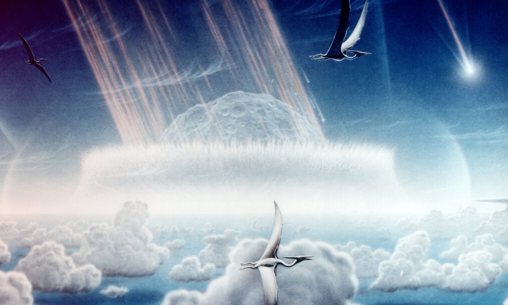
Featuring image: 66 million years ago, a giant meteorite impact ended the age of the dinosaurs. Artist impression of the impact. Painting by Donald E. Davis, Public Domain (C0)

Paper: The Nadir Crater offshore West Africa: A candidate Cretaceous-Paleogene impact structure

Authors: U. Nicholson, V. J. Bray, S. P. S. Gulick, B. Aduomahor

The appearance of a flaming, 10 km wide meteorite over the Gulf of Mexico must have been striking, literally. But could the meteorite, which killed the dinosaurs, have had a small sibling or even a whole family of smaller space rocks hurtling towards Earth?

The massive meteorite impact at Chicxulub in the Gulf of Mexico ended the era of the dinosaurs 66 million years ago. Now, only a few thousand km apart from it, researchers might have found another, smaller crater of a similar age. And it might show that the Chicxulub meteorite was not alone but part of a cluster of meteorites, bombarding the Earth at the end of the Cretaceous period.

Continue reading “Chicxulub’s small sibling”

The rise of Sponges

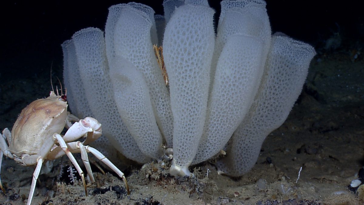
Featuring image: Venus flower basket glass sponges (Euplectella aspergillum) in the Gulf of Mexico. NOAA Okeanos Explorer Program – Gulf of Mexico 2012 Expedition, CC-BY-2.0

Paper: Palaeoecological Implications of Lower-Middle Triassic Stromatolites and Microbe-Metazoan Build-Ups in the Germanic Basin: Insights into the Aftermath of the Permian–Triassic Crisis

Authors: Y. Pei, H. Hagdorn, T. Voigt, J.-P. Duda, J. Reitner

The Permian-Triassic crisis was the greatest mass extinction in Earth’s history. But an unlikely animal might have benefited from this cataclysm: the sponge.

Microbial mats like stromatolites represent the lithified remains of different slimy accumulations of microorganisms. While there are many different types, Pei and co-workers investigated a special type of microbial mats with a very different internal structure, called microbial-metazoan build-up, mainly consisting of sponges. By comparing these fossil structures to common stromatolites from the Permian-Triassic boundary, the researcher team could show that sponges profited from the mass extinction with the aid of bacteria.

Continue reading “The rise of Sponges”

One Sailors’ Legend Down, Many More To Go – Multiple Milky Sea Events Detected by Satellite

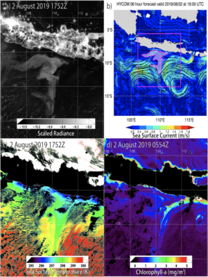
Processed satellite images showing a milky sea event in Java, 2019.

Featured image: Processed satellite images showing a milky sea event and its components in Java, 2019. From Miller et al, 2021 (figure 5).

Paper: Miller, S.D., Haddock, S.H.D., Straka, W.C. et al. Honing in on bioluminescent milky seas from space. Sci Rep 11, 15443 (2021). https://doi.org/10.1038/s41598-021-94823-z

Sailors see a lot of, well, stuff while they’re far from land. And they’re known for telling unbelievable tales, some of which later turn out to be more or less true. Milky seas are one of those: a horizon-to-horizon sea that glows white like the snow in the moonlight. In a 2021 paper, Dr. Steven Miller of Colorado State University and colleagues used satellites to look for these systems in hopes of understanding how and why these glowing patches form.

The first satellite detection of a milky sea event was also the work of Dr. Miller, in a 2005 paper that detected just a single event by combing ships’ logs and satellite archives from the preceding decade. Now, Miller’s research team has refined the algorithm that he’d previously developed for modern satellite records. Today’s satellite technology is better able to ‘see’ these events due to higher resolution of their images and can pick out the bioluminescent glow of microbes in the ocean better than the last generation of satellites.

Continue reading “One Sailors’ Legend Down, Many More To Go – Multiple Milky Sea Events Detected by Satellite”

Understanding highly explosive basaltic eruptions using simulations

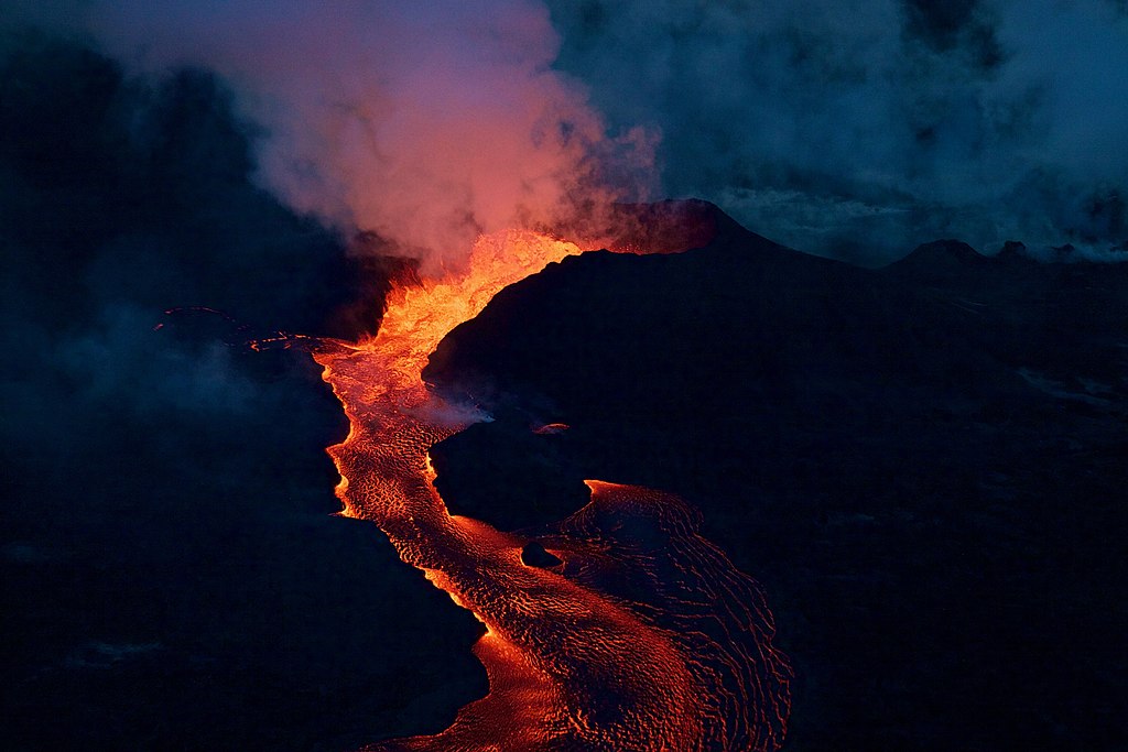
Featured image: A fissure cone of Kīlauea (Hawaii) erupting during the 2018 eruptive episode. via Wikimedia commons (Public domain)

Paper: Role of volatiles in highly explosive basaltic eruptions.

Authors: Giuseppe La Spina, Fabio Arzilli, Mike R. Burton, Margherita Polacci, Amanda B. Clarke

When we think of Hawaii or Iceland, the first thing that comes to mind is volcanoes. Lava fountains spew out basaltic lava, which silently meanders its way to the ocean. The notion that basaltic eruptions are always less explosive compared to other types like rhyolitic and andesitic eruptions is not entirely true. For example, Mount Etna in Italy has produced highly explosive basaltic eruptions such as the 122 BCE Plinian Eruption and another in 1669. Because highly explosive basaltic eruptions are not very common, they’re not fully understood leaving scientists wondering “What could be the reason behind this erratic behaviour?”

Continue reading “Understanding highly explosive basaltic eruptions using simulations”