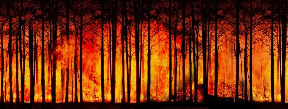
Featured image: by Gerd Altmann from Pixabay.
Authors: Alireza Farahmand, E. Natasha Stavros, John T. Reager, Ali Behrangi, James T. Randerson, and Brad Quayle.
Forest Fires are a natural part of the ecosystem that clear out old and overgrown vegetation and recycle nutrients back into the soil. However, increasing growth into these forested areas has increased the wildland fire hazards to people and their homes and businesses. This has subsequently increased the use of resources and funds to battle and restore damage from these fires. In the United States alone, federal wildfire suppression expenditures tripled from $0.4 billion per year to $1.4 billion per year in the last century. These economic impacts inspired researchers from the California Institute of Technology, University of Arizona, University of California – Irvine and the United States Department of Agriculture to see if they could improve wildfire prediction beyond our current limited methods using subjective expert knowledge and weather forecasts.
Typically, wildfire forecasts that are greater than 10 days out have been heavily based on subjective expert knowledge and weather forecasts to predict expected burned area. Alireza Farahmand and his colleagues wanted to change that. They noticed that a number of previous studies had indicated that relationships between fire and the presence of moisture in the air and soil were connected with fire incidents, but using these variables had not been used to predict fire danger or damage yet. They hypothesized that burned areas, or fire danger, could be predicted based on the moisture content in the soil and air collected by satellites up to three months before the fire event.
To test their hypothesis, they compared the moisture measured in the air and soil that was collected from NASA missions to the wildfire-fire burned area in nine different regions of the contiguous U.S.: Eastern, Northern California, Northern Rockies, Northwest, Rocky Mountain, Southern California, Southern, Southwest and Great Basin. This was done with the help of the Global Fire Emissions Database (GFED) for each month from 2002 to 2016. They created a separate model for each region for each month to predict the area burned by comparing the actual area burned in different regions to the air and soil moisture measured in the previous months.

In all geographic regions, the model improved the fire danger forecast by at least 1 month beforehand compared to the current prediction methods. The team was able to make better predictions for some regions based on the type of vegetation found in that region.

The regions with the highest predictability were Great Basin, Northern Rockies, Northwest, and Rocky Mountains. Soil and air moisture content was shown to have a strong correlation with fire danger in the study, rather than weather being the controlling factor in these regions. These areas generally are dominated by “fuel-limited systems”, which typically rely on pre-fire-season conditions to grow vegetation such as shrubs and grassland (the fuel) that carry fire, thus influencing the total burned area. If the pre-fire-season has abundant moisture in the soil and air, the vegetation will grow more abundantly creating more fuel for the fire season, thus showing a strong correlation to potential fire danger in the study.
The Eastern and Southern USA regions experienced lower fire predictability. Most of the fires in these regions are prescribed burns, which can happen throughout the year, and weren’t tied to the soil and air moisture content from the previous months, therefore lowering the fire danger predictability. Extreme climate also lowered the predictability of fire danger, overriding soil and air moisture content from the previous months to predict fire danger. The Southwest’s monsoon season and Southern California’s Santa Ana winds with hot and dry conditions heavily impacted the fire seasons in these regions. This led to lower fire danger predictability by just using soil and air moisture content in the study.
In the end though, all regions showed better fire danger predictability by at least 1 month compared to the current prediction methods. Natural forest fires are an important part of managing the ecosystem and they should not be eliminated. By better quantifying wildfire prediction methods, humans can better coexist with mother nature and save some money. Even satellites can (kind of) prevent forest fires (from sneaking up on you)!
Satellites Predict Forest Fires Better Than Experts by Paige Bankhead is licensed under a Creative Commons Attribution 4.0 International License.

